
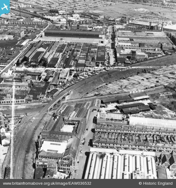
EAW036532 ENGLAND (1951). Priory Road, the General Electric Co Ltd Witton Works and environs, Witton, 1951. This image has been produced from a print marked by Aerofilms Ltd for photo editing.
© Hawlfraint cyfranwyr OpenStreetMap a thrwyddedwyd gan yr OpenStreetMap Foundation. 2026. Trwyddedir y gartograffeg fel CC BY-SA.
Delweddau cyfagos (14)
EAW036532

EAW036523

EAW045933

EAW036527

EAW036525

EAW036529

EAW036524

EAW036526

EAW045932

EPW031381

EAW045927

EPW028055

EAW045928

EPW031383

Manylion
| Pennawd | [EAW036532] Priory Road, the General Electric Co Ltd Witton Works and environs, Witton, 1951. This image has been produced from a print marked by Aerofilms Ltd for photo editing. |
| Cyfeirnod | EAW036532 |
| Dyddiad | 31-May-1951 |
| Dolen | |
| Enw lle | WITTON |
| Plwyf | |
| Ardal | |
| Gwlad | ENGLAND |
| Dwyreiniad / Gogleddiad | 408723, 290094 |
| Hydred / Lledred | -1.8714630149059, 52.508303664118 |
| Cyfeirnod Grid Cenedlaethol | SP087901 |
Pinnau
Byddwch y cyntaf i ychwanegu sylw at y ddelwedd hon!