
EAW034902 ENGLAND (1951). The High Street and town, Marlborough, 1951

© Hawlfraint cyfranwyr OpenStreetMap a thrwyddedwyd gan yr OpenStreetMap Foundation. 2026. Trwyddedir y gartograffeg fel CC BY-SA.
Delweddau cyfagos (6)
EAW034902

EAW034903

EPW011124

EAW034901

EAW034900

EPW011126

Manylion
| Pennawd | [EAW034902] The High Street and town, Marlborough, 1951 |
| Cyfeirnod | EAW034902 |
| Dyddiad | 12-March-1951 |
| Dolen | |
| Enw lle | MARLBOROUGH |
| Plwyf | MARLBOROUGH |
| Ardal | |
| Gwlad | ENGLAND |
| Dwyreiniad / Gogleddiad | 418737, 169074 |
| Hydred / Lledred | -1.7305101112085, 51.419876575598 |
| Cyfeirnod Grid Cenedlaethol | SU187691 |
Pinnau

gerry-r |
Tuesday 18th of June 2024 05:28:43 PM | |
|
NottmJas |
Monday 5th of February 2024 04:16:45 PM | |
 |
YITKV |
Tuesday 29th of July 2014 01:05:52 AM |
|
Peter Turvey |
Wednesday 9th of July 2014 09:40:24 PM | |
|
Peter Turvey |
Wednesday 9th of July 2014 09:38:47 PM |
Cyfraniadau Grŵp
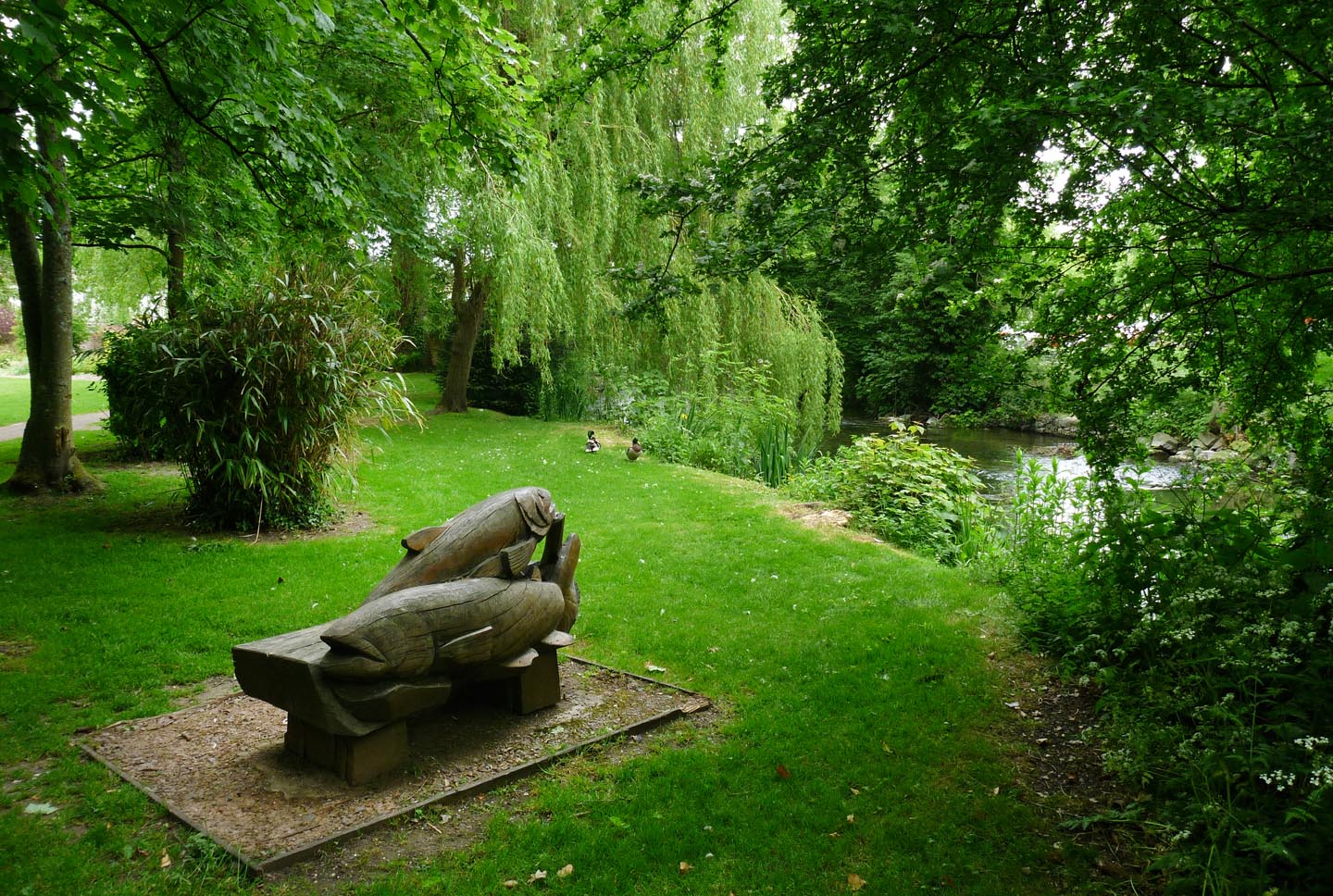
Priory Gardens |

Alan McFaden |
Monday 25th of August 2014 10:53:49 AM |

Marlborough |
Alan McFaden |
Monday 25th of August 2014 10:52:57 AM |

Marlborough Library |
Alan McFaden |
Monday 25th of August 2014 10:52:19 AM |
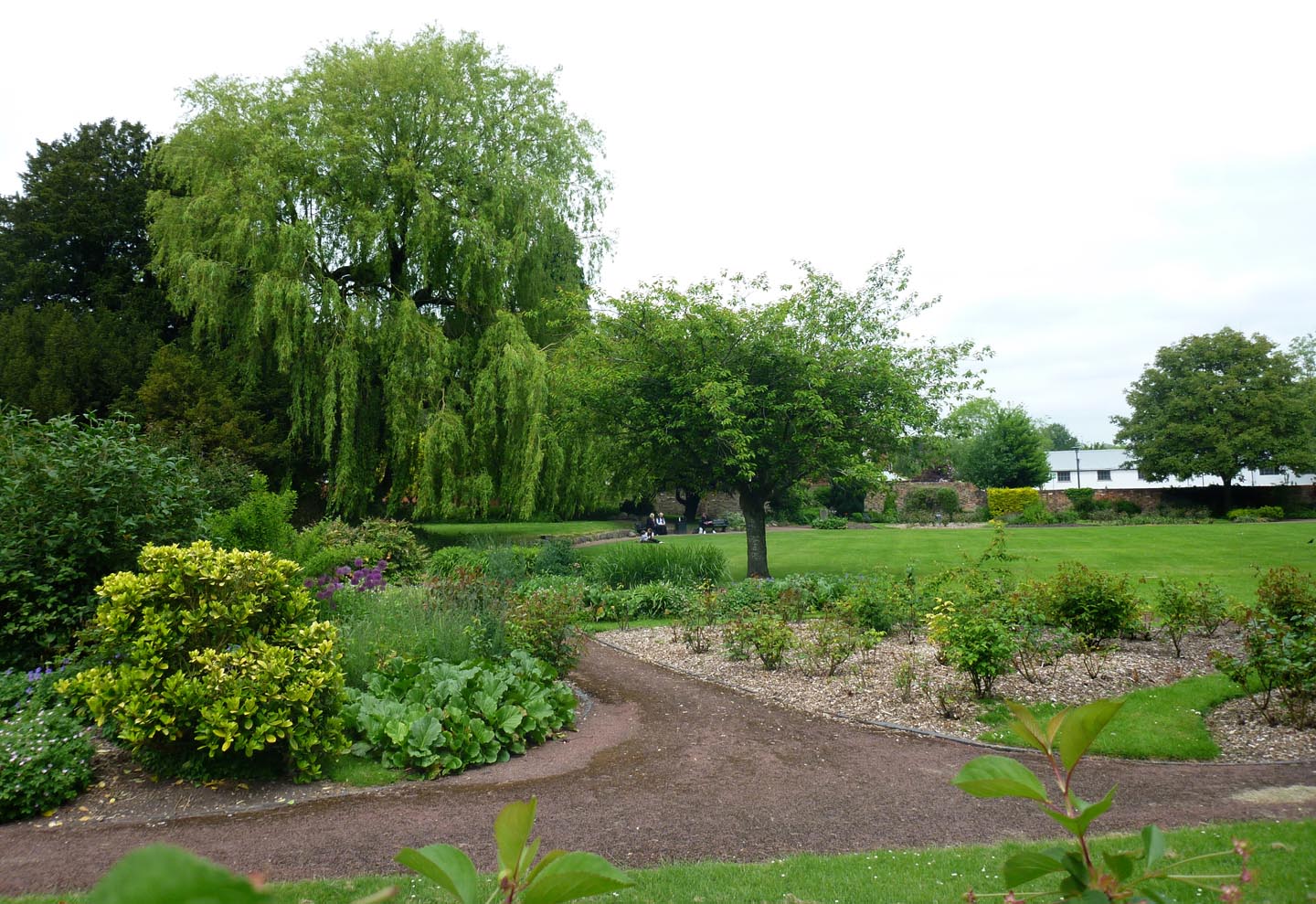
Priory Gardens |
Alan McFaden |
Monday 25th of August 2014 10:51:55 AM |
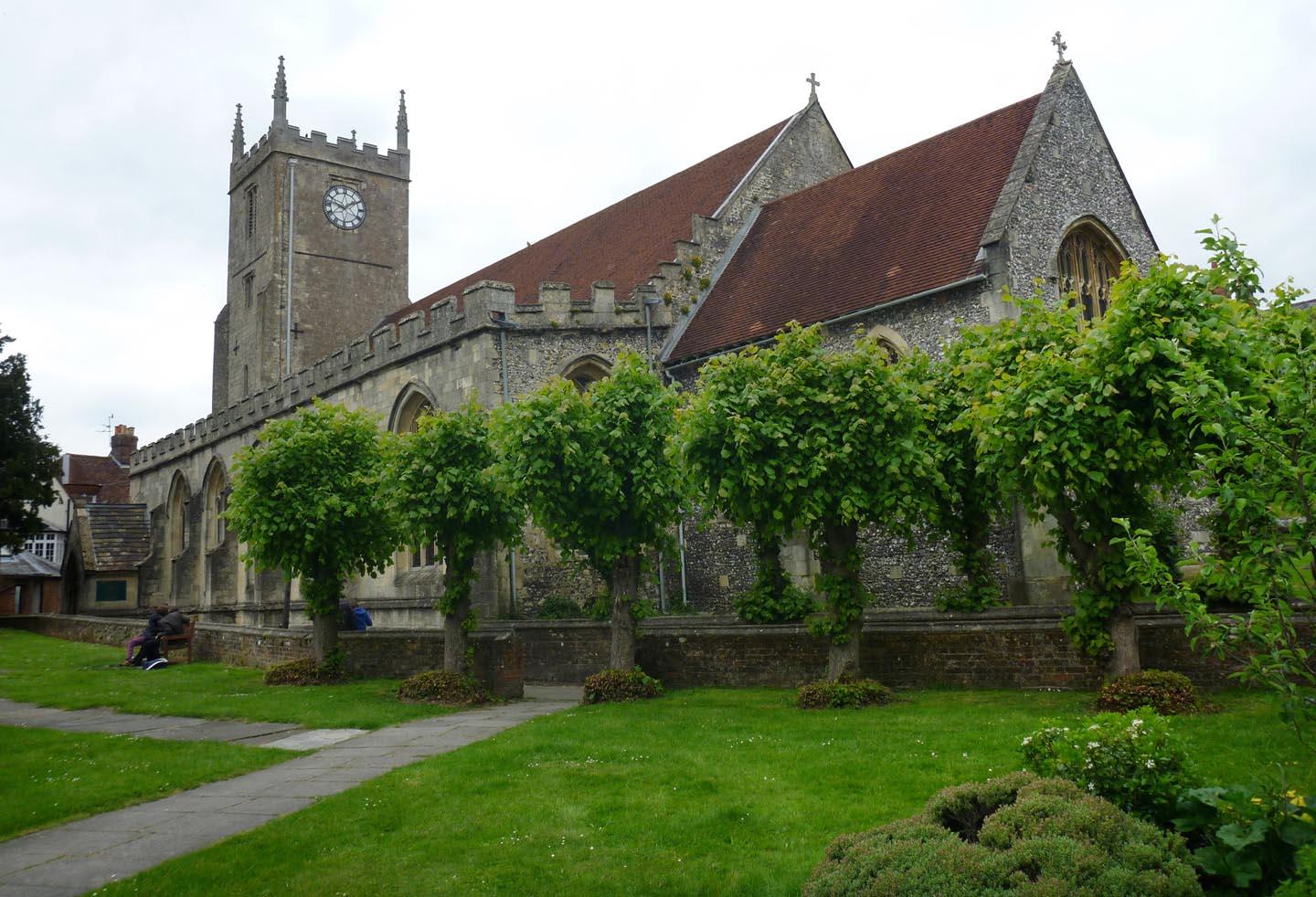
Saint Mary's Church |
Alan McFaden |
Monday 25th of August 2014 10:51:27 AM |

Saint Peter and Saint Paul Church |
Alan McFaden |
Monday 25th of August 2014 10:50:55 AM |
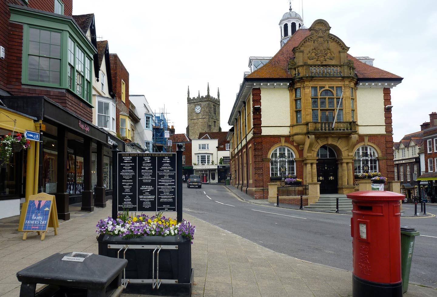
Marlborough |
Alan McFaden |
Monday 25th of August 2014 10:49:16 AM |