
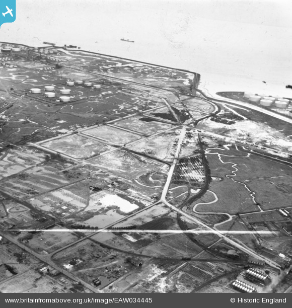
EAW034445 ENGLAND (1951). Part of the Coryton Oil Refinery under construction, Coryton, from the north-west, 1951. This image has been produced from a print marked by Aerofilms Ltd for photo editing.
© Hawlfraint cyfranwyr OpenStreetMap a thrwyddedwyd gan yr OpenStreetMap Foundation. 2026. Trwyddedir y gartograffeg fel CC BY-SA.
Delweddau cyfagos (10)
EAW034445

EAW039880

EAW043883

EAW039897

EAW042275

EAW048092

EAW034442

EAW045727

EAW048376

EAW048093

Manylion
| Pennawd | [EAW034445] Part of the Coryton Oil Refinery under construction, Coryton, from the north-west, 1951. This image has been produced from a print marked by Aerofilms Ltd for photo editing. |
| Cyfeirnod | EAW034445 |
| Dyddiad | 12-January-1951 |
| Dolen | |
| Enw lle | CORYTON |
| Plwyf | |
| Ardal | |
| Gwlad | ENGLAND |
| Dwyreiniad / Gogleddiad | 574551, 182802 |
| Hydred / Lledred | 0.51602249989351, 51.516650277208 |
| Cyfeirnod Grid Cenedlaethol | TQ746828 |
Pinnau
Byddwch y cyntaf i ychwanegu sylw at y ddelwedd hon!