
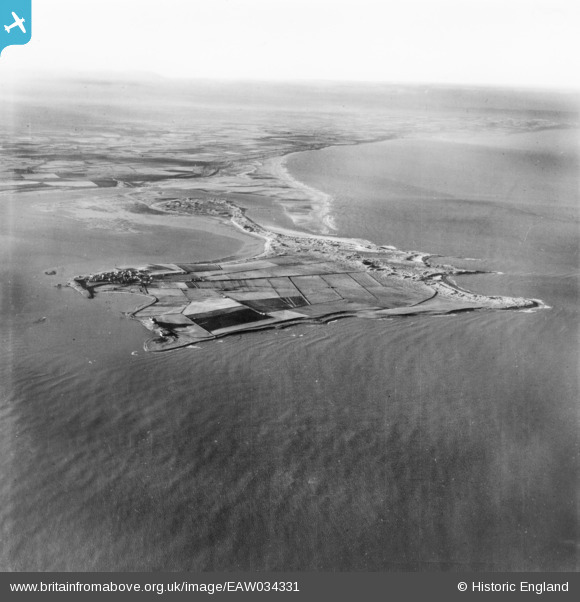
EAW034331 ENGLAND (1950). Holy Island, Holy Island, from the east, 1950. This image has been produced from a print.
© Hawlfraint cyfranwyr OpenStreetMap a thrwyddedwyd gan yr OpenStreetMap Foundation. 2025. Trwyddedir y gartograffeg fel CC BY-SA.
Delweddau cyfagos (2)
EAW034331

EAW034332

Manylion
| Pennawd | [EAW034331] Holy Island, Holy Island, from the east, 1950. This image has been produced from a print. |
| Cyfeirnod | EAW034331 |
| Dyddiad | 25-November-1950 |
| Dolen | |
| Enw lle | HOLY ISLAND |
| Plwyf | HOLY ISLAND |
| Ardal | |
| Gwlad | ENGLAND |
| Dwyreiniad / Gogleddiad | 414511, 642235 |
| Hydred / Lledred | -1.7692512735193, 55.673404314609 |
| Cyfeirnod Grid Cenedlaethol | NU145422 |
Pinnau

Matt Aldred edob.mattaldred.com |
Thursday 31st of December 2020 03:31:05 PM | |

DaveH |
Sunday 12th of June 2016 10:33:33 PM |