
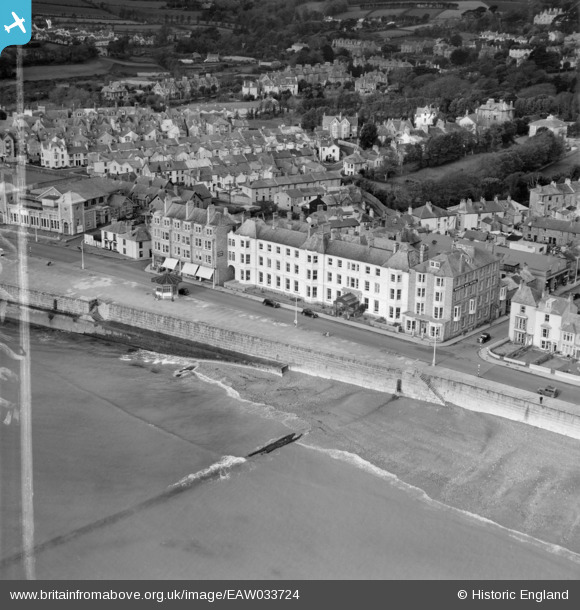
EAW033724 ENGLAND (1950). The Queen's Hotel, Penzance, 1950. This image was marked by Aerofilms Ltd for photo editing.
© Hawlfraint cyfranwyr OpenStreetMap a thrwyddedwyd gan yr OpenStreetMap Foundation. 2026. Trwyddedir y gartograffeg fel CC BY-SA.
Delweddau cyfagos (11)
EAW033724

EAW033729

EAW033728

EAW033726

EAW033727

EPW021757

EAW033725

EPW021759

EPW021756

EPW021755

EPW039840

Manylion
| Pennawd | [EAW033724] The Queen's Hotel, Penzance, 1950. This image was marked by Aerofilms Ltd for photo editing. |
| Cyfeirnod | EAW033724 |
| Dyddiad | 16-October-1950 |
| Dolen | |
| Enw lle | PENZANCE |
| Plwyf | PENZANCE |
| Ardal | |
| Gwlad | ENGLAND |
| Dwyreiniad / Gogleddiad | 147152, 29757 |
| Hydred / Lledred | -5.5371476670024, 50.113328101967 |
| Cyfeirnod Grid Cenedlaethol | SW472298 |
Pinnau

dave43 |
Saturday 21st of July 2018 08:10:45 PM |