
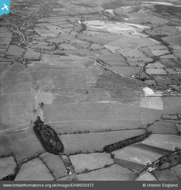
EAW033472 ENGLAND (1950). Restored opencast mining site near Carrington's Farm, Flamstead Plantation and environs, Denby Village, 1950
© Hawlfraint cyfranwyr OpenStreetMap a thrwyddedwyd gan yr OpenStreetMap Foundation. 2026. Trwyddedir y gartograffeg fel CC BY-SA.
Delweddau cyfagos (36)
EAW033472

EAW033471

EAW033470

EAW011225

EAW033469

EAW011224

EAW011243

EAW011226

EAW012052

EAW033474

EAW011235

EAW011236

EAW011234

EAW033473

EAW011237

EAW017986

EAW011239

EAW012053

EAW025912

EAW011241

EAW011238

EAW012039

EAW018415

EAW018401

EAW018411

EAW017963

EAW011246

EAW012054

EAW018402

EAW011249

EAW018412

EAW025923

EAW011252

EAW025920

EAW018416

EAW017954

Manylion
| Pennawd | [EAW033472] Restored opencast mining site near Carrington's Farm, Flamstead Plantation and environs, Denby Village, 1950 |
| Cyfeirnod | EAW033472 |
| Dyddiad | 11-October-1950 |
| Dolen | |
| Enw lle | DENBY VILLAGE |
| Plwyf | DENBY |
| Ardal | |
| Gwlad | ENGLAND |
| Dwyreiniad / Gogleddiad | 441013, 345575 |
| Hydred / Lledred | -1.3887311390459, 53.005609186604 |
| Cyfeirnod Grid Cenedlaethol | SK410456 |


