
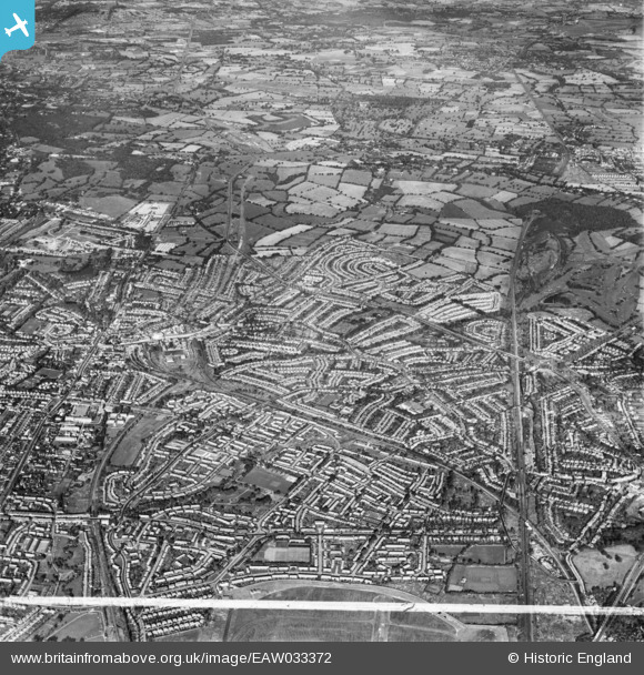
EAW033372 ENGLAND (1950). Burnt Oak, Edgware and environs, Burnt Oak, from the south-east, 1950. This image was marked by Aerofilms Ltd for photo editing.
© Hawlfraint cyfranwyr OpenStreetMap a thrwyddedwyd gan yr OpenStreetMap Foundation. 2026. Trwyddedir y gartograffeg fel CC BY-SA.
Delweddau cyfagos (3)
EAW033372

EAW027668
 in flight over the Watling Park area, Burnt Oak, from the west, 1949")
EAW033378

Manylion
| Pennawd | [EAW033372] Burnt Oak, Edgware and environs, Burnt Oak, from the south-east, 1950. This image was marked by Aerofilms Ltd for photo editing. |
| Cyfeirnod | EAW033372 |
| Dyddiad | 10-October-1950 |
| Dolen | |
| Enw lle | BURNT OAK |
| Plwyf | |
| Ardal | |
| Gwlad | ENGLAND |
| Dwyreiniad / Gogleddiad | 520703, 191452 |
| Hydred / Lledred | -0.25671317468538, 51.608476109497 |
| Cyfeirnod Grid Cenedlaethol | TQ207915 |


