
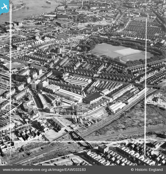
EAW033183 ENGLAND (1950). The Molins Machine Co Works, Deptford Park and the surrounding area, Deptford, 1950. This image was marked by Aerofilms Ltd for photo editing.
© Hawlfraint cyfranwyr OpenStreetMap a thrwyddedwyd gan yr OpenStreetMap Foundation. 2026. Trwyddedir y gartograffeg fel CC BY-SA.
Delweddau cyfagos (17)
EAW033183

EAW033186

EAW033189

EAW033190

EAW033187

EAW033241

EAW033188

EAW033185

EAW033181

EAW033236

EAW033182

EAW033242

EAW033184

EAW033239

EAW033238

EAW033237

EAW033240

Manylion
| Pennawd | [EAW033183] The Molins Machine Co Works, Deptford Park and the surrounding area, Deptford, 1950. This image was marked by Aerofilms Ltd for photo editing. |
| Cyfeirnod | EAW033183 |
| Dyddiad | 5-October-1950 |
| Dolen | |
| Enw lle | DEPTFORD |
| Plwyf | |
| Ardal | |
| Gwlad | ENGLAND |
| Dwyreiniad / Gogleddiad | 535999, 178455 |
| Hydred / Lledred | -0.040953004728175, 51.4881827999 |
| Cyfeirnod Grid Cenedlaethol | TQ360785 |
