
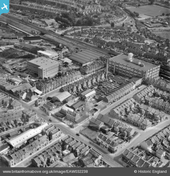
EAW032238 ENGLAND (1950). Argus Road, Stanley Street South and environs, Bedminster, 1950. This image was marked by Aerofilms Ltd for photo editing.
© Hawlfraint cyfranwyr OpenStreetMap a thrwyddedwyd gan yr OpenStreetMap Foundation. 2026. Trwyddedir y gartograffeg fel CC BY-SA.
Delweddau cyfagos (8)
EAW032238

EAW032240

EAW032244

EAW032239

EAW032245

EAW032242

EAW032243

EAW032241

Manylion
| Pennawd | [EAW032238] Argus Road, Stanley Street South and environs, Bedminster, 1950. This image was marked by Aerofilms Ltd for photo editing. |
| Cyfeirnod | EAW032238 |
| Dyddiad | 5-September-1950 |
| Dolen | |
| Enw lle | BEDMINSTER |
| Plwyf | |
| Ardal | |
| Gwlad | ENGLAND |
| Dwyreiniad / Gogleddiad | 358135, 171022 |
| Hydred / Lledred | -2.6023504886553, 51.436156573169 |
| Cyfeirnod Grid Cenedlaethol | ST581710 |
Pinnau

Stuart G |
Tuesday 7th of January 2020 06:39:01 PM | |

Class31 |
Monday 1st of December 2014 02:28:39 PM | |
 |
Class31 |
Sunday 29th of June 2014 09:51:34 AM |

Cyfraniadau Grŵp

West Street, Bedminster 27/02/2014 |
Class31 |
Monday 1st of December 2014 02:29:20 PM |

Looking south from the roof of the Airpoint building, Bedminster, 28/06/2014 |
Class31 |
Sunday 29th of June 2014 09:48:47 AM |

Looking south east from the roof of the Airpoint building, Bedminster, 28/06/2014 |
Class31 |
Sunday 29th of June 2014 09:46:46 AM |

From the roof of the Airpoint building, Bedminster,looking along West Street, 28/06/2014 |
Class31 |
Sunday 29th of June 2014 09:41:47 AM |
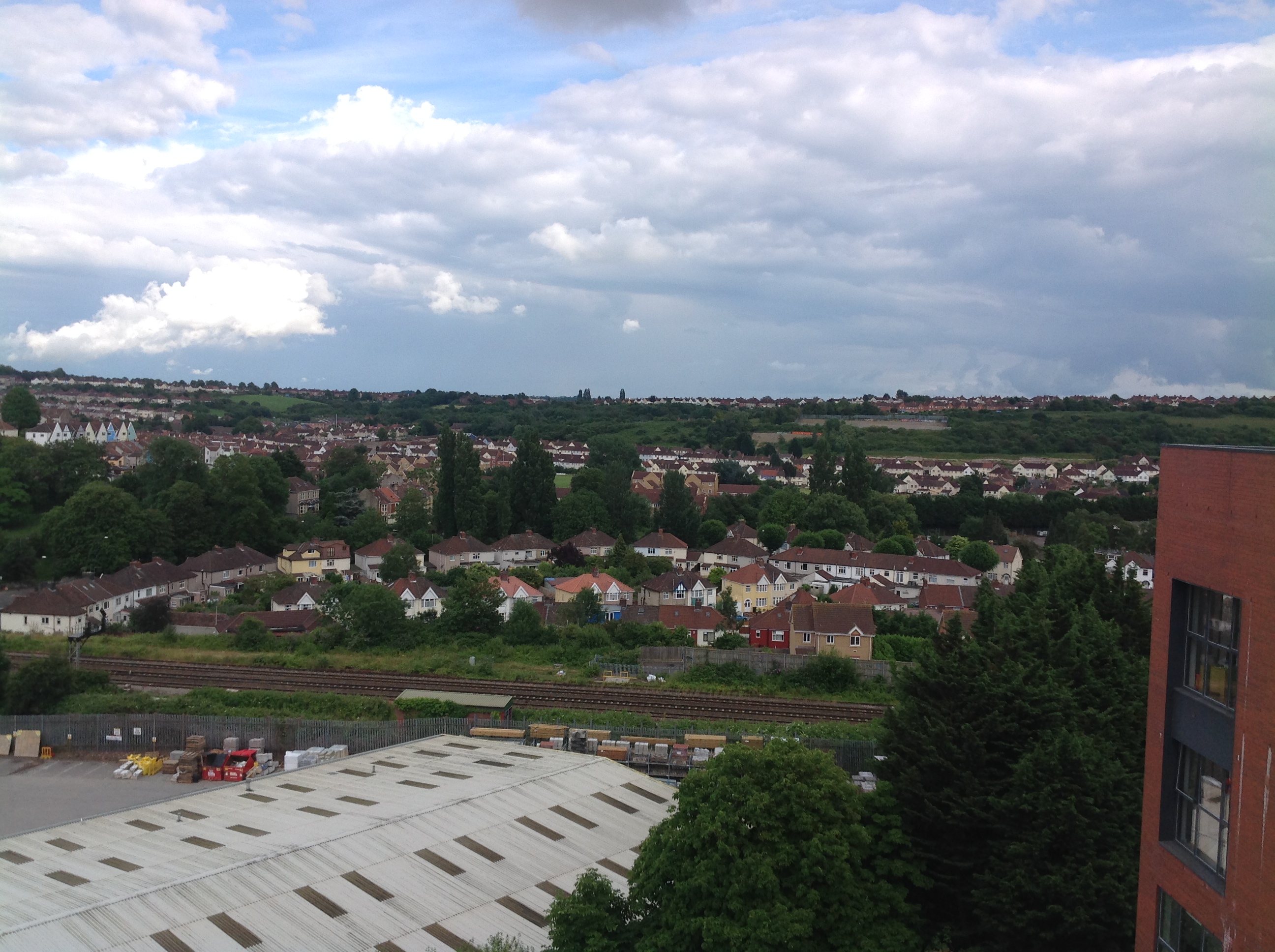
A view from the roof of the Airpoint building 28/6/2014. |
Class31 |
Saturday 28th of June 2014 10:24:14 PM |

A view from the roof of the Airpoint building 28/6/2014. |
Class31 |
Saturday 28th of June 2014 10:22:26 PM |