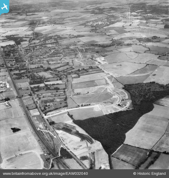
EAW032040 ENGLAND (1950). The Monkswood Estate in the early stages of construction and environs, Stevenage, 1950
© Hawlfraint cyfranwyr OpenStreetMap a thrwyddedwyd gan yr OpenStreetMap Foundation. 2024. Trwyddedir y gartograffeg fel CC BY-SA.
Manylion
Pennawd | [EAW032040] The Monkswood Estate in the early stages of construction and environs, Stevenage, 1950 |
Cyfeirnod | EAW032040 |
Dyddiad | 23-August-1950 |
Dolen | |
Enw lle | STEVENAGE |
Plwyf | |
Ardal | |
Gwlad | ENGLAND |
Dwyreiniad / Gogleddiad | 524175, 223932 |
Hydred / Lledred | -0.19499023568022, 51.899640832239 |
Cyfeirnod Grid Cenedlaethol | TL242239 |
Pinnau
The Six Hills. Roman tumuli on the east side of the old Great North Road. |
Howie |
Sunday 18th of April 2021 04:44:22 AM |
north star coaches garage,across the road the astonia cinema? |
paulinuk |
Saturday 16th of November 2019 09:41:23 PM |
Fairlands Primary School |
andy |
Monday 22nd of July 2019 04:43:23 PM |
The square structure was the water storage tank supplying the railway water troughs, while the tall cylindrical tower adjacent to the down slow line was the water softener tower in which the hard Stevenage water was treated with lime to avoid furring up the boiler pipes in the steam locomotives. It was a dangerous place for us kids to play - no Health and Safety then. :) |
Howie |
Wednesday 15th of April 2015 04:19:47 AM |
Broadhall Way now crosses the main railway line and Gt. North Road (A1) at this point. |
Howie |
Wednesday 15th of April 2015 04:13:39 AM |
The old Sewage Works where the Roaring Meg shopping centre now stands. |
Howie |
Wednesday 15th of April 2015 04:11:53 AM |
This short north-south section had been intended to be what is now Monkswood Way which was eventually sited a few hundred yards to the west. This 'jog' exists to this day. It was also the terminus of London Transport route 392, the first bus service in the new town connecting Monks Wood with the Old Town High St. and the old Stevenage Railway Station in Julians Road. |
Howie |
Wednesday 15th of April 2015 04:04:44 AM |
Elder Way |
Howie |
Wednesday 15th of April 2015 03:59:58 AM |
This short east-west section would become part of today's Six Hills Way. |
Howie |
Wednesday 15th of April 2015 03:58:46 AM |
Homestead Moat |
Howie |
Wednesday 15th of April 2015 03:57:17 AM |
Norton Green Lane bridge over the East Coast mainline. From this point southwards to approximately opposite Elder Way were Langley Troughs. From these narrow channels of water mounted between the rails, steam locomotives could refill their tenders at speed. |
Howie |
Wednesday 15th of April 2015 03:55:53 AM |
The junction of The Gt. North Road and Elder Way, the first road into the New Town. |
Howie |
Wednesday 15th of April 2015 03:51:43 AM |
Rockingham Way. The Twin Foxes PH and six shops stand here today. |
Howie |
Wednesday 15th of April 2015 03:49:42 AM |