
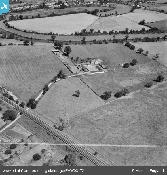
EAW031721 ENGLAND (1950). The Lodden Stud Farm, Winnersh, 1950. This image was marked by Aerofilms Ltd for photo editing.
© Hawlfraint cyfranwyr OpenStreetMap a thrwyddedwyd gan yr OpenStreetMap Foundation. 2026. Trwyddedir y gartograffeg fel CC BY-SA.
Delweddau cyfagos (4)
EAW031721

EAW031719

EAW031720

EAW031716

Manylion
| Pennawd | [EAW031721] The Lodden Stud Farm, Winnersh, 1950. This image was marked by Aerofilms Ltd for photo editing. |
| Cyfeirnod | EAW031721 |
| Dyddiad | 4-August-1950 |
| Dolen | |
| Enw lle | WINNERSH |
| Plwyf | WINNERSH |
| Ardal | |
| Gwlad | ENGLAND |
| Dwyreiniad / Gogleddiad | 477248, 171536 |
| Hydred / Lledred | -0.88852876674952, 51.437057416589 |
| Cyfeirnod Grid Cenedlaethol | SU772715 |
Pinnau

designking |
Thursday 16th of October 2014 07:28:57 PM | |
|
designking |
Thursday 16th of October 2014 07:27:14 PM |