
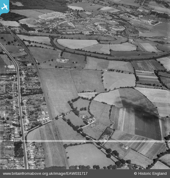
EAW031717 ENGLAND (1950). The Lodden Stud Farm, River Lodden and environs, Winnersh, 1950. This image was marked by Aerofilms Ltd for photo editing.
© Hawlfraint cyfranwyr OpenStreetMap a thrwyddedwyd gan yr OpenStreetMap Foundation. 2026. Trwyddedir y gartograffeg fel CC BY-SA.
Delweddau cyfagos (3)
EAW031717

EAW031718

EAW031716

Manylion
| Pennawd | [EAW031717] The Lodden Stud Farm, River Lodden and environs, Winnersh, 1950. This image was marked by Aerofilms Ltd for photo editing. |
| Cyfeirnod | EAW031717 |
| Dyddiad | 4-August-1950 |
| Dolen | |
| Enw lle | WINNERSH |
| Plwyf | WINNERSH |
| Ardal | |
| Gwlad | ENGLAND |
| Dwyreiniad / Gogleddiad | 477594, 171443 |
| Hydred / Lledred | -0.88357179733991, 51.436173964995 |
| Cyfeirnod Grid Cenedlaethol | SU776714 |
Pinnau

Bob Pitman |
Sunday 8th of October 2017 04:59:06 PM | |
|
Bob Pitman |
Sunday 8th of October 2017 04:56:25 PM | |
|
Bob Pitman |
Sunday 8th of October 2017 04:54:34 PM | |
|
Bob Pitman |
Sunday 8th of October 2017 04:53:23 PM | |

thomasknight |
Friday 27th of March 2015 11:30:09 PM | |
|
designking |
Sunday 14th of September 2014 08:05:35 PM |