
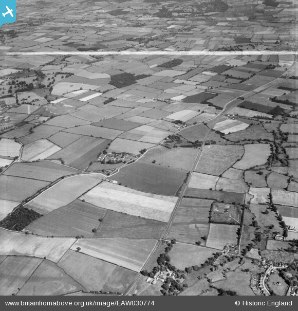
EAW030774 ENGLAND (1950). Cressing Temple and the surrounding countryside, Cressing, 1950. This image was marked by Aerofilms Ltd for photo editing.
© Hawlfraint cyfranwyr OpenStreetMap a thrwyddedwyd gan yr OpenStreetMap Foundation. 2026. Trwyddedir y gartograffeg fel CC BY-SA.
Delweddau cyfagos (5)
EAW030774

EAW030783

EAW030786

EAW030781

EAW030782

Manylion
| Pennawd | [EAW030774] Cressing Temple and the surrounding countryside, Cressing, 1950. This image was marked by Aerofilms Ltd for photo editing. |
| Cyfeirnod | EAW030774 |
| Dyddiad | 28-June-1950 |
| Dolen | |
| Enw lle | CRESSING |
| Plwyf | CRESSING |
| Ardal | |
| Gwlad | ENGLAND |
| Dwyreiniad / Gogleddiad | 580001, 218426 |
| Hydred / Lledred | 0.61285708920091, 51.834948411796 |
| Cyfeirnod Grid Cenedlaethol | TL800184 |
Pinnau

Ferrers |
Tuesday 8th of September 2020 07:47:14 PM |