
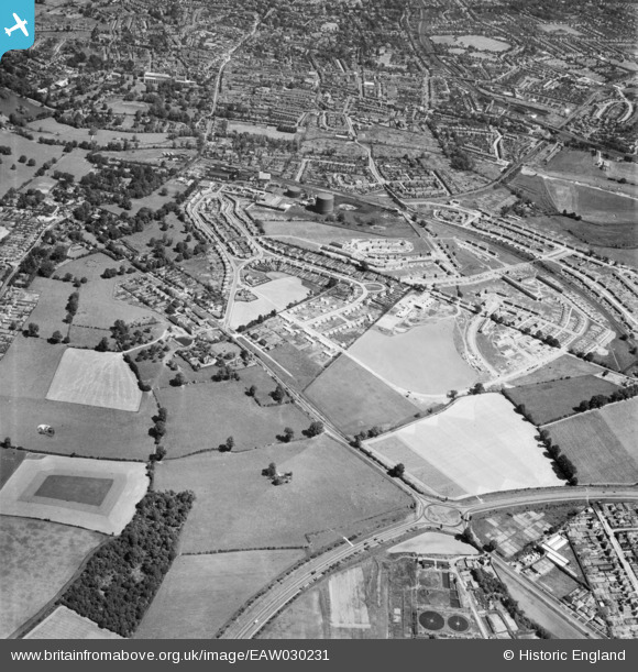
EAW030231 ENGLAND (1950). Watling Street, St Julian's and environs, St Albans, 1950
© Hawlfraint cyfranwyr OpenStreetMap a thrwyddedwyd gan yr OpenStreetMap Foundation. 2026. Trwyddedir y gartograffeg fel CC BY-SA.
Delweddau cyfagos (2)
EAW030231

EAW030948

Manylion
| Pennawd | [EAW030231] Watling Street, St Julian's and environs, St Albans, 1950 |
| Cyfeirnod | EAW030231 |
| Dyddiad | 12-June-1950 |
| Dolen | |
| Enw lle | ST ALBANS |
| Plwyf | |
| Ardal | |
| Gwlad | ENGLAND |
| Dwyreiniad / Gogleddiad | 514493, 205540 |
| Hydred / Lledred | -0.34174249079737, 51.736403131771 |
| Cyfeirnod Grid Cenedlaethol | TL145055 |
Pinnau

Sandyn |
Saturday 21st of August 2021 05:30:22 PM | |
|
Tinytroll |
Thursday 16th of November 2017 02:52:18 PM | |
|
Tinytroll |
Thursday 16th of November 2017 02:51:38 PM | |
|
Tinytroll |
Tuesday 10th of October 2017 10:36:21 AM | |
|
Tinytroll |
Tuesday 10th of October 2017 10:35:29 AM | |
|
John W |
Tuesday 2nd of August 2016 05:40:11 PM | |
|
John W |
Tuesday 2nd of August 2016 05:39:03 PM | |
|
John W |
Tuesday 2nd of August 2016 05:38:16 PM | |
|
John W |
Tuesday 2nd of August 2016 05:37:30 PM | |
|
John W |
Tuesday 2nd of August 2016 05:34:35 PM | |
|
John W |
Tuesday 2nd of August 2016 05:33:45 PM |