
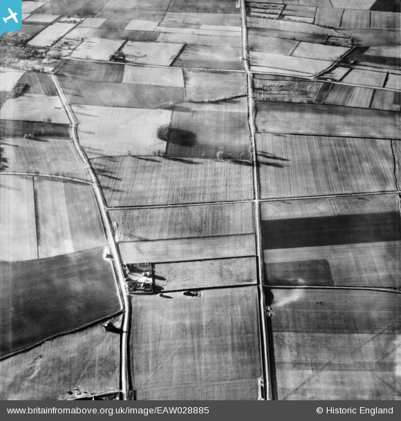
EAW028885 ENGLAND (1950). Walk House and the course of Ermine Street Roman Road, Roxby, 1950
© Hawlfraint cyfranwyr OpenStreetMap a thrwyddedwyd gan yr OpenStreetMap Foundation. 2026. Trwyddedir y gartograffeg fel CC BY-SA.
Delweddau cyfagos (2)
EAW028885

EAW028974

Manylion
| Pennawd | [EAW028885] Walk House and the course of Ermine Street Roman Road, Roxby, 1950 |
| Cyfeirnod | EAW028885 |
| Dyddiad | 5-May-1950 |
| Dolen | |
| Enw lle | ROXBY |
| Plwyf | ROXBY CUM RISBY |
| Ardal | |
| Gwlad | ENGLAND |
| Dwyreiniad / Gogleddiad | 494410, 417541 |
| Hydred / Lledred | -0.5716362497943, 53.645613755586 |
| Cyfeirnod Grid Cenedlaethol | SE944175 |
Pinnau

totoro |
Sunday 16th of March 2014 09:40:15 PM | |
|
totoro |
Sunday 16th of March 2014 09:38:37 PM | |
|
totoro |
Sunday 16th of March 2014 09:38:07 PM | |
|
totoro |
Sunday 16th of March 2014 09:37:26 PM | |
|
totoro |
Sunday 16th of March 2014 09:36:45 PM | |
|
totoro |
Sunday 16th of March 2014 09:36:17 PM |