
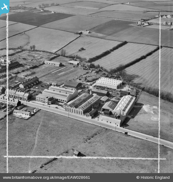
EAW028661 ENGLAND (1950). The R. H. Neal and Co Dysart Road Iron Works, Grantham, 1950. This image was marked by Aerofilms Ltd for photo editing.
© Hawlfraint cyfranwyr OpenStreetMap a thrwyddedwyd gan yr OpenStreetMap Foundation. 2026. Trwyddedir y gartograffeg fel CC BY-SA.
Delweddau cyfagos (8)
EAW028661

EAW028664

EAW028667

EAW028662

EAW028665

EAW028663

EAW028668

EAW028666

Manylion
| Pennawd | [EAW028661] The R. H. Neal and Co Dysart Road Iron Works, Grantham, 1950. This image was marked by Aerofilms Ltd for photo editing. |
| Cyfeirnod | EAW028661 |
| Dyddiad | 19-April-1950 |
| Dolen | |
| Enw lle | GRANTHAM |
| Plwyf | |
| Ardal | |
| Gwlad | ENGLAND |
| Dwyreiniad / Gogleddiad | 490541, 335757 |
| Hydred / Lledred | -0.65345910984554, 52.911282918648 |
| Cyfeirnod Grid Cenedlaethol | SK905358 |
Pinnau

Joneau |
Sunday 18th of June 2023 10:55:50 PM | |
|
millington |
Saturday 18th of July 2015 01:06:02 PM | |
|
millington |
Saturday 18th of July 2015 01:05:26 PM |