
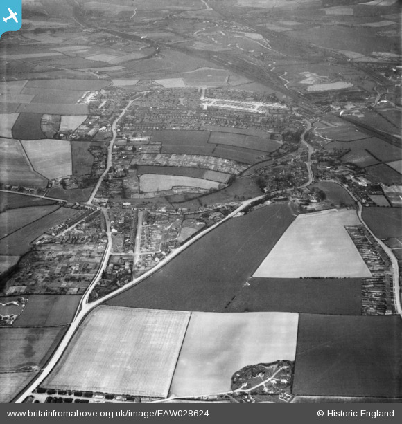
EAW028624 ENGLAND (1950). Eckington Road, West Street and the surrounding area, Beighton, 1950
© Hawlfraint cyfranwyr OpenStreetMap a thrwyddedwyd gan yr OpenStreetMap Foundation. 2026. Trwyddedir y gartograffeg fel CC BY-SA.
Delweddau cyfagos (6)
EAW028624

EAW028622

EAW028619

EAW028623

EAW028620

EAW028621

Manylion
| Pennawd | [EAW028624] Eckington Road, West Street and the surrounding area, Beighton, 1950 |
| Cyfeirnod | EAW028624 |
| Dyddiad | 6-April-1950 |
| Dolen | |
| Enw lle | BEIGHTON |
| Plwyf | |
| Ardal | |
| Gwlad | ENGLAND |
| Dwyreiniad / Gogleddiad | 444117, 383152 |
| Hydred / Lledred | -1.3372863363002, 53.343155461263 |
| Cyfeirnod Grid Cenedlaethol | SK441832 |
Pinnau

Matt Aldred edob.mattaldred.com |
Thursday 27th of June 2024 12:31:57 PM | |

Gasometerman |
Saturday 7th of November 2020 06:10:26 PM | |
|
redmist |
Tuesday 25th of June 2019 03:09:24 PM | |
|
redmist |
Tuesday 25th of June 2019 03:07:12 PM |