
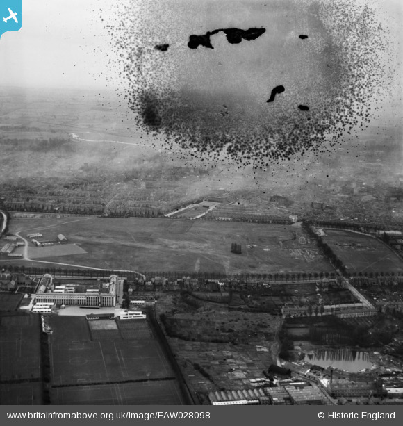
EAW028098 ENGLAND (1950). The Racecourse, Northampton, from the north, 1950. This image has been produced from a damaged negative.
© Hawlfraint cyfranwyr OpenStreetMap a thrwyddedwyd gan yr OpenStreetMap Foundation. 2026. Trwyddedir y gartograffeg fel CC BY-SA.
Manylion
| Pennawd | [EAW028098] The Racecourse, Northampton, from the north, 1950. This image has been produced from a damaged negative. |
| Cyfeirnod | EAW028098 |
| Dyddiad | 9-March-1950 |
| Dolen | |
| Enw lle | NORTHAMPTON |
| Plwyf | |
| Ardal | |
| Gwlad | ENGLAND |
| Dwyreiniad / Gogleddiad | 475703, 261880 |
| Hydred / Lledred | -0.89097114592302, 52.249487929675 |
| Cyfeirnod Grid Cenedlaethol | SP757619 |
Pinnau
 |

Ericferret |
Tuesday 25th of November 2014 10:18:53 AM |
|
bobashby |
Monday 23rd of June 2014 09:30:25 PM | |
|
bobashby |
Monday 23rd of June 2014 09:29:05 PM | |
|
bobashby |
Monday 23rd of June 2014 09:29:01 PM |