
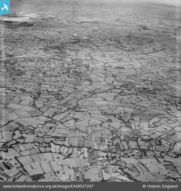
EAW027297 ENGLAND (1949). The site of Chew Valley Lake, Chew Stoke, from the north-west, 1949
© Hawlfraint cyfranwyr OpenStreetMap a thrwyddedwyd gan yr OpenStreetMap Foundation. 2026. Trwyddedir y gartograffeg fel CC BY-SA.
Delweddau cyfagos (2)
EAW027297

EAW049560

Manylion
| Pennawd | [EAW027297] The site of Chew Valley Lake, Chew Stoke, from the north-west, 1949 |
| Cyfeirnod | EAW027297 |
| Dyddiad | 19-October-1949 |
| Dolen | |
| Enw lle | CHEW STOKE |
| Plwyf | CHEW STOKE |
| Ardal | |
| Gwlad | ENGLAND |
| Dwyreiniad / Gogleddiad | 356301, 161193 |
| Hydred / Lledred | -2.6275259641323, 51.347634365106 |
| Cyfeirnod Grid Cenedlaethol | ST563612 |
Pinnau

Class31 |
Wednesday 19th of March 2014 11:30:13 AM | |
|
Class31 |
Wednesday 19th of March 2014 11:29:30 AM | |
|
Class31 |
Wednesday 19th of March 2014 11:28:56 AM | |
|
Class31 |
Wednesday 19th of March 2014 11:25:05 AM | |
|
Class31 |
Wednesday 19th of March 2014 11:22:37 AM | |
|
Class31 |
Monday 17th of March 2014 11:12:30 AM |
