
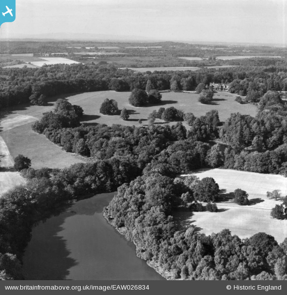
EAW026834 ENGLAND (1949). Furnace Pond looking towards Ashfold, Slaugham, from the south, 1949. This image has been produced from a print.
© Hawlfraint cyfranwyr OpenStreetMap a thrwyddedwyd gan yr OpenStreetMap Foundation. 2026. Trwyddedir y gartograffeg fel CC BY-SA.
Delweddau cyfagos (6)
EAW026834

EAW026832

EAW027631

EAW027629

EAW027632

EAW027630

Manylion
| Pennawd | [EAW026834] Furnace Pond looking towards Ashfold, Slaugham, from the south, 1949. This image has been produced from a print. |
| Cyfeirnod | EAW026834 |
| Dyddiad | 3-October-1949 |
| Dolen | |
| Enw lle | SLAUGHAM |
| Plwyf | SLAUGHAM |
| Ardal | |
| Gwlad | ENGLAND |
| Dwyreiniad / Gogleddiad | 524851, 128267 |
| Hydred / Lledred | -0.21897676838895, 51.03964094811 |
| Cyfeirnod Grid Cenedlaethol | TQ249283 |
Pinnau
Byddwch y cyntaf i ychwanegu sylw at y ddelwedd hon!