
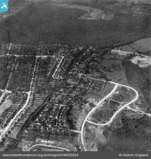
EAW026816 ENGLAND (1949). Housing estate under construction at St Paul's Cray, Bromley, 1949. This image has been produced from a print.
© Hawlfraint cyfranwyr OpenStreetMap a thrwyddedwyd gan yr OpenStreetMap Foundation. 2026. Trwyddedir y gartograffeg fel CC BY-SA.
Delweddau cyfagos (2)
EAW026816

EPW045550

Manylion
| Pennawd | [EAW026816] Housing estate under construction at St Paul's Cray, Bromley, 1949. This image has been produced from a print. |
| Cyfeirnod | EAW026816 |
| Dyddiad | 3-October-1949 |
| Dolen | |
| Enw lle | BROMLEY |
| Plwyf | |
| Ardal | |
| Gwlad | ENGLAND |
| Dwyreiniad / Gogleddiad | 545704, 168886 |
| Hydred / Lledred | 0.094809033536135, 51.399772697964 |
| Cyfeirnod Grid Cenedlaethol | TQ457689 |
Pinnau
Byddwch y cyntaf i ychwanegu sylw at y ddelwedd hon!