
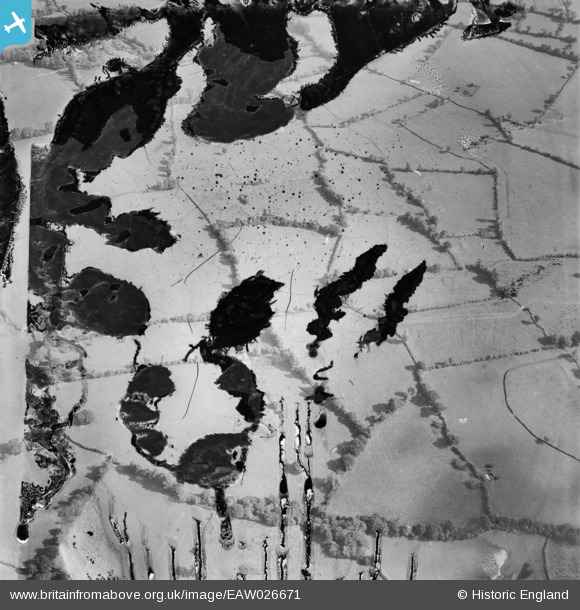
EAW026671 ENGLAND (1949). Farmland near Bicklands Farm, Compton Martin, 1949. This image has been produced from a damaged negative.
© Hawlfraint cyfranwyr OpenStreetMap a thrwyddedwyd gan yr OpenStreetMap Foundation. 2026. Trwyddedir y gartograffeg fel CC BY-SA.
Delweddau cyfagos (2)
EAW026671

EAW026672

Manylion
| Pennawd | [EAW026671] Farmland near Bicklands Farm, Compton Martin, 1949. This image has been produced from a damaged negative. |
| Cyfeirnod | EAW026671 |
| Dyddiad | 1-October-1949 |
| Dolen | |
| Enw lle | COMPTON MARTIN |
| Plwyf | COMPTON MARTIN |
| Ardal | |
| Gwlad | ENGLAND |
| Dwyreiniad / Gogleddiad | 354707, 159211 |
| Hydred / Lledred | -2.6501623668314, 51.329687033848 |
| Cyfeirnod Grid Cenedlaethol | ST547592 |
Pinnau
Cyfraniadau Grŵp
Photo is taken looking east from a point near Ubley Park Farm looking towards Herons Green. All the field boundaries are right. |

Class31 |
Tuesday 29th of April 2014 02:00:33 PM |
Thanks for the details Class31. We’ll update the catalogue with the new location data and post the revised record here in due course. Yours, Katy Britain from Above Cataloguing Team Leader |
Katy Whitaker |
Tuesday 29th of April 2014 02:00:33 PM |
EAW026669 EAW026670 EAW026671 EAW026672 EAW026673 EAW026674 EAW026675 and EAW026679 are all of the same area. |
Class31 |
Sunday 23rd of February 2014 06:37:09 PM |