
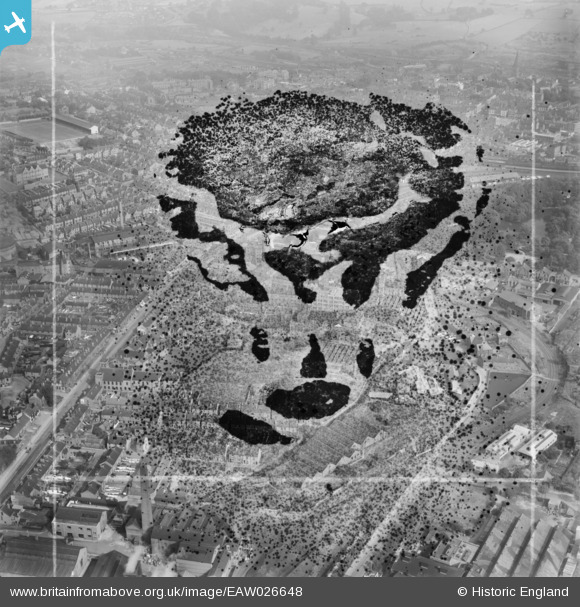
EAW026648 ENGLAND (1949). The Robinson and Sons Ltd Wheatbridge Mills and environs, Chesterfield, 1949. This image has been produced from a damaged negative.
© Hawlfraint cyfranwyr OpenStreetMap a thrwyddedwyd gan yr OpenStreetMap Foundation. 2026. Trwyddedir y gartograffeg fel CC BY-SA.
Delweddau cyfagos (5)
EAW026648

EAW026645

EAW026644

EAW026647
 and environs, Chesterfield, 1949. This image has been produced from a damaged negative.")
EAW026646

Manylion
| Pennawd | [EAW026648] The Robinson and Sons Ltd Wheatbridge Mills and environs, Chesterfield, 1949. This image has been produced from a damaged negative. |
| Cyfeirnod | EAW026648 |
| Dyddiad | 19-September-1949 |
| Dolen | |
| Enw lle | CHESTERFIELD |
| Plwyf | |
| Ardal | |
| Gwlad | ENGLAND |
| Dwyreiniad / Gogleddiad | 437559, 370950 |
| Hydred / Lledred | -1.4372363912508, 53.23397384249 |
| Cyfeirnod Grid Cenedlaethol | SK376710 |
Pinnau
Byddwch y cyntaf i ychwanegu sylw at y ddelwedd hon!