
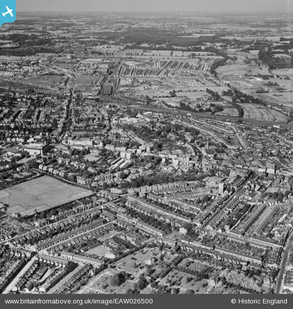
EAW026500 ENGLAND (1949). The town, Watford, from the south-west, 1949
© Hawlfraint cyfranwyr OpenStreetMap a thrwyddedwyd gan yr OpenStreetMap Foundation. 2026. Trwyddedir y gartograffeg fel CC BY-SA.
Delweddau cyfagos (5)
EAW026500

EAW028659

EPW010544

EPW001555

EPW040466

Manylion
| Pennawd | [EAW026500] The town, Watford, from the south-west, 1949 |
| Cyfeirnod | EAW026500 |
| Dyddiad | 10-September-1949 |
| Dolen | |
| Enw lle | WATFORD |
| Plwyf | |
| Ardal | |
| Gwlad | ENGLAND |
| Dwyreiniad / Gogleddiad | 510708, 196364 |
| Hydred / Lledred | -0.39945186962387, 51.654683484639 |
| Cyfeirnod Grid Cenedlaethol | TQ107964 |
Pinnau
Byddwch y cyntaf i ychwanegu sylw at y ddelwedd hon!