
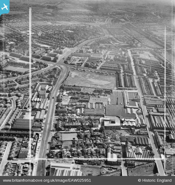
EAW025951 ENGLAND (1949). The Paton, Calvert and Co Hardware Factory, Liverpool, 1949. This image was marked by Aerofilms Ltd for photo editing.
© Hawlfraint cyfranwyr OpenStreetMap a thrwyddedwyd gan yr OpenStreetMap Foundation. 2026. Trwyddedir y gartograffeg fel CC BY-SA.
Delweddau cyfagos (22)
EAW025951

EAW025950

EPW044469

EPW044472

EAW025949

EPW044471

EPW044470

EAW042550

EAW025953

EAW025954

EAW025952

EAW042545

EAW042552

EAW042547

EAW042546

EAW042549

EAW042554

EAW025948

EAW042544

EAW042548

EAW042553

EAW042551

Manylion
| Pennawd | [EAW025951] The Paton, Calvert and Co Hardware Factory, Liverpool, 1949. This image was marked by Aerofilms Ltd for photo editing. |
| Cyfeirnod | EAW025951 |
| Dyddiad | 14-August-1949 |
| Dolen | |
| Enw lle | LIVERPOOL |
| Plwyf | |
| Ardal | |
| Gwlad | ENGLAND |
| Dwyreiniad / Gogleddiad | 338895, 390664 |
| Hydred / Lledred | -2.9193248889545, 53.408987239241 |
| Cyfeirnod Grid Cenedlaethol | SJ389907 |
Pinnau

BruceR |
Saturday 4th of December 2021 08:58:15 PM | |
|
BruceR |
Saturday 4th of December 2021 08:54:48 PM | |
|
redmist |
Sunday 14th of February 2021 09:33:11 PM | |
|
redmist |
Sunday 14th of February 2021 09:32:13 PM | |
|
redmist |
Sunday 14th of February 2021 09:31:23 PM | |
|
Bashey |
Wednesday 14th of October 2020 02:03:27 PM | |
|
BruceR |
Thursday 20th of December 2018 09:20:42 PM | |
|
BruceR |
Thursday 20th of December 2018 09:17:22 PM |