
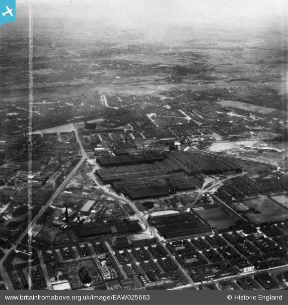
EAW025663 ENGLAND (1949). The English Steel Corporation North Street Works, Openshaw, from the south, 1949. This image has been produced from a print marked by Aerofilms Ltd for photo editing.
© Hawlfraint cyfranwyr OpenStreetMap a thrwyddedwyd gan yr OpenStreetMap Foundation. 2026. Trwyddedir y gartograffeg fel CC BY-SA.
Delweddau cyfagos (19)
EAW025663

EAW022087

EAW022085

EAW017371

EAW025661

EAW025665

EAW022083

EAW025664

EAW022086

EAW025660

EAW017372

EAW022089

EAW017374

EAW036136

EAW022088

EAW017373

EAW017375

EAW022084

EAW022082

Manylion
| Pennawd | [EAW025663] The English Steel Corporation North Street Works, Openshaw, from the south, 1949. This image has been produced from a print marked by Aerofilms Ltd for photo editing. |
| Cyfeirnod | EAW025663 |
| Dyddiad | 1-August-1949 |
| Dolen | |
| Enw lle | OPENSHAW |
| Plwyf | |
| Ardal | |
| Gwlad | ENGLAND |
| Dwyreiniad / Gogleddiad | 387881, 397729 |
| Hydred / Lledred | -2.1826149082079, 53.475897341276 |
| Cyfeirnod Grid Cenedlaethol | SJ879977 |
Pinnau

John T. Pitman |
Tuesday 14th of October 2014 10:44:01 PM |