
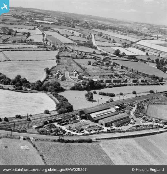
EAW025207 ENGLAND (1949). The John Ingham and Sons Ltd Engineering Works and the residential area at Water Lane, Coxley, from the north-east, 1949
© Hawlfraint cyfranwyr OpenStreetMap a thrwyddedwyd gan yr OpenStreetMap Foundation. 2026. Trwyddedir y gartograffeg fel CC BY-SA.
Delweddau cyfagos (8)
EAW025207

EAW025209

EAW025203

EAW025208

EAW025205

EAW025204

EAW025206

EAW025202

Manylion
| Pennawd | [EAW025207] The John Ingham and Sons Ltd Engineering Works and the residential area at Water Lane, Coxley, from the north-east, 1949 |
| Cyfeirnod | EAW025207 |
| Dyddiad | 26-July-1949 |
| Dolen | |
| Enw lle | COXLEY |
| Plwyf | SITLINGTON |
| Ardal | |
| Gwlad | ENGLAND |
| Dwyreiniad / Gogleddiad | 428117, 417632 |
| Hydred / Lledred | -1.5745330401751, 53.654196276016 |
| Cyfeirnod Grid Cenedlaethol | SE281176 |
