
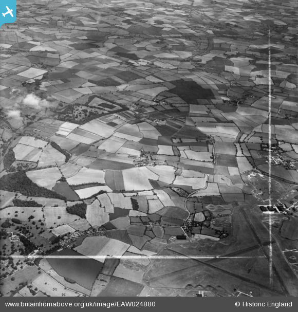
EAW024880 ENGLAND (1949). The villages of Burton End and Tye Green, the Elsenham Hall Estate and surrounding countryside, Elsenham, from the south-west, 1949. This image was marked by Aerofilms Ltd for photo editing.
© Hawlfraint cyfranwyr OpenStreetMap a thrwyddedwyd gan yr OpenStreetMap Foundation. 2026. Trwyddedir y gartograffeg fel CC BY-SA.
Delweddau cyfagos (2)
EAW024880

EAW024879

Manylion
| Pennawd | [EAW024880] The villages of Burton End and Tye Green, the Elsenham Hall Estate and surrounding countryside, Elsenham, from the south-west, 1949. This image was marked by Aerofilms Ltd for photo editing. |
| Cyfeirnod | EAW024880 |
| Dyddiad | 21-July-1949 |
| Dolen | |
| Enw lle | ELSENHAM |
| Plwyf | ELSENHAM |
| Ardal | |
| Gwlad | ENGLAND |
| Dwyreiniad / Gogleddiad | 553650, 224136 |
| Hydred / Lledred | 0.23323195277385, 51.894125894951 |
| Cyfeirnod Grid Cenedlaethol | TL537241 |
Pinnau
Byddwch y cyntaf i ychwanegu sylw at y ddelwedd hon!