
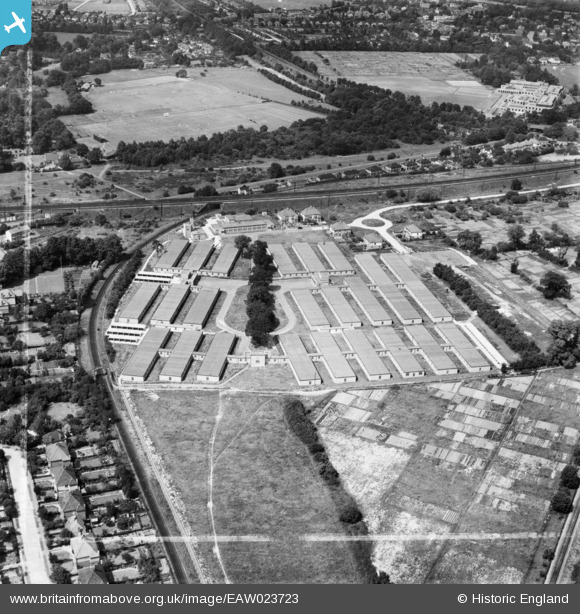
EAW023723 ENGLAND (1949). Government Office Buildings, Hinchley Wood, 1949. This image was marked by Aerofilms Ltd for photo editing.
© Hawlfraint cyfranwyr OpenStreetMap a thrwyddedwyd gan yr OpenStreetMap Foundation. 2026. Trwyddedir y gartograffeg fel CC BY-SA.
Delweddau cyfagos (7)
EAW023723

EAW023724

EAW023721

EAW023720

EAW023718

EAW023719

EAW023722

Manylion
| Pennawd | [EAW023723] Government Office Buildings, Hinchley Wood, 1949. This image was marked by Aerofilms Ltd for photo editing. |
| Cyfeirnod | EAW023723 |
| Dyddiad | 12-June-1949 |
| Dolen | |
| Enw lle | HINCHLEY WOOD |
| Plwyf | |
| Ardal | |
| Gwlad | ENGLAND |
| Dwyreiniad / Gogleddiad | 515659, 165787 |
| Hydred / Lledred | -0.33794164169522, 51.378839795943 |
| Cyfeirnod Grid Cenedlaethol | TQ157658 |
Pinnau

Mr Nozzle |
Sunday 13th of January 2019 06:38:45 PM | |
|
Des |
Wednesday 16th of December 2015 02:49:01 PM | |
|
Des |
Wednesday 16th of December 2015 02:48:14 PM | |
|
Des |
Wednesday 16th of December 2015 02:44:15 PM | |

Jon |
Thursday 28th of May 2015 07:47:36 PM |
Cyfraniadau Grŵp
The Milk Marketing Board and Giggs Hill Green |
Gina Phillips |
Friday 20th of December 2013 08:18:16 PM |