
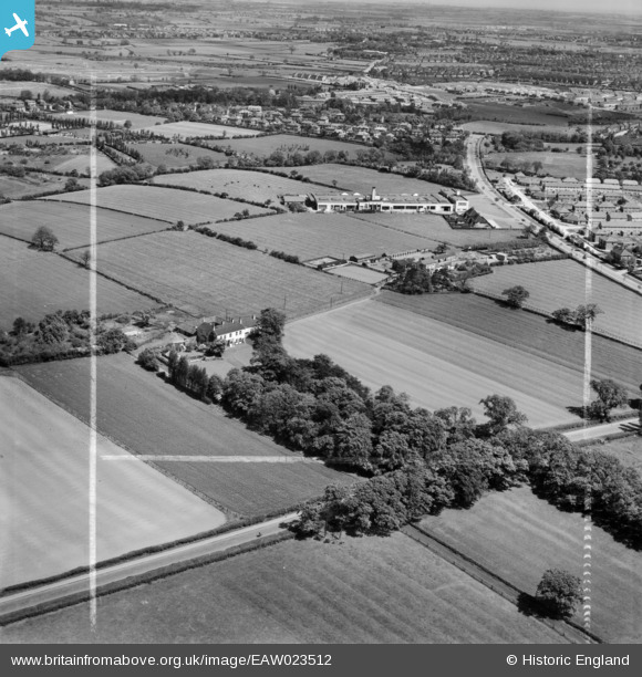
EAW023512 ENGLAND (1949). White House, White House Farm and the Daylight Bakery, Stockton-on-Tees, from the south-west, 1949. This image was marked by Aerofilms Ltd for photo editing.
© Hawlfraint cyfranwyr OpenStreetMap a thrwyddedwyd gan yr OpenStreetMap Foundation. 2026. Trwyddedir y gartograffeg fel CC BY-SA.
Delweddau cyfagos (9)
EAW023512

EAW020576

EAW020575

EAW023515

EAW020574

EAW020579

EAW016860

EAW020572

EAW020578

Manylion
| Pennawd | [EAW023512] White House, White House Farm and the Daylight Bakery, Stockton-on-Tees, from the south-west, 1949. This image was marked by Aerofilms Ltd for photo editing. |
| Cyfeirnod | EAW023512 |
| Dyddiad | 28-May-1949 |
| Dolen | |
| Enw lle | STOCKTON-ON-TEES |
| Plwyf | |
| Ardal | |
| Gwlad | ENGLAND |
| Dwyreiniad / Gogleddiad | 442670, 519857 |
| Hydred / Lledred | -1.339891850077, 54.572005335444 |
| Cyfeirnod Grid Cenedlaethol | NZ427199 |
Pinnau
Byddwch y cyntaf i ychwanegu sylw at y ddelwedd hon!