
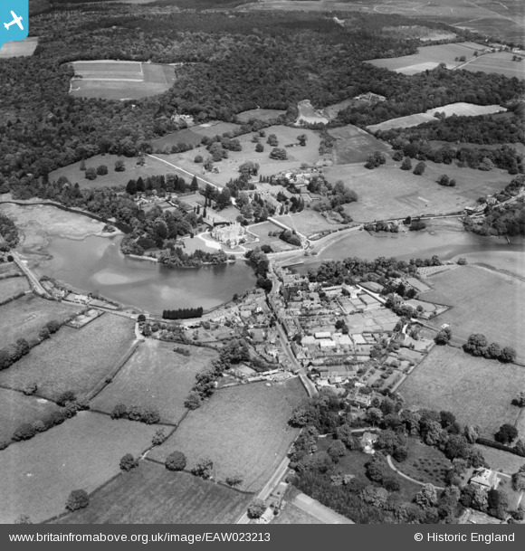
EAW023213 ENGLAND (1949). The village, Beaulieu, 1949
© Hawlfraint cyfranwyr OpenStreetMap a thrwyddedwyd gan yr OpenStreetMap Foundation. 2025. Trwyddedir y gartograffeg fel CC BY-SA.
Delweddau cyfagos (8)
EAW023213

EAW023214

EPW037450

EPW037451

EPW032278

EAW023216

EPW037449

EAW023219

Manylion
| Pennawd | [EAW023213] The village, Beaulieu, 1949 |
| Cyfeirnod | EAW023213 |
| Dyddiad | 19-May-1949 |
| Dolen | |
| Enw lle | BEAULIEU |
| Plwyf | BEAULIEU |
| Ardal | |
| Gwlad | ENGLAND |
| Dwyreiniad / Gogleddiad | 438743, 102347 |
| Hydred / Lledred | -1.4499512450311, 50.818807832208 |
| Cyfeirnod Grid Cenedlaethol | SU387023 |
Pinnau

Matt Aldred edob.mattaldred.com |
Tuesday 9th of March 2021 02:01:07 PM | |
|
Matt Aldred edob.mattaldred.com |
Tuesday 9th of March 2021 02:00:19 PM | |

Class31 |
Sunday 19th of October 2014 08:17:31 PM | |
|
Class31 |
Sunday 19th of October 2014 08:16:34 PM | |
|
Class31 |
Sunday 19th of October 2014 08:16:01 PM | |
|
Class31 |
Sunday 19th of October 2014 08:14:20 PM | |

NewForestRemembers |
Wednesday 29th of January 2014 11:41:39 AM | |
|
NewForestRemembers |
Wednesday 29th of January 2014 11:40:03 AM |


