
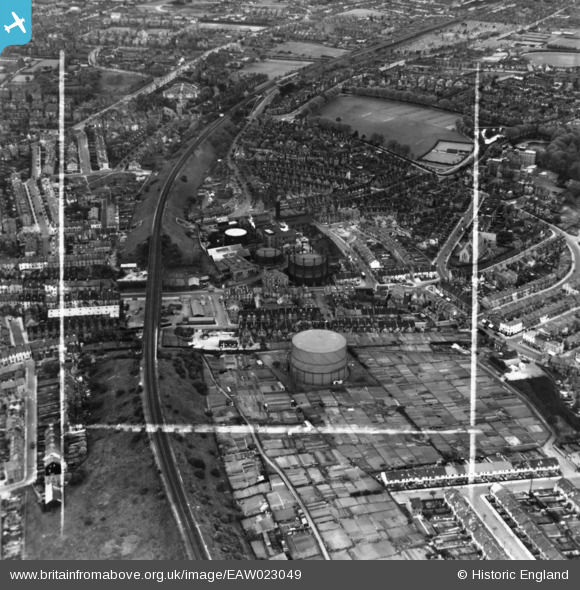
EAW023049 ENGLAND (1949). The Gas Works on Foord Road and environs, Folkestone, 1949. This image has been produced from a print marked by Aerofilms Ltd for photo editing.
© Hawlfraint cyfranwyr OpenStreetMap a thrwyddedwyd gan yr OpenStreetMap Foundation. 2026. Trwyddedir y gartograffeg fel CC BY-SA.
Delweddau cyfagos (6)
EAW023049

EAW023053

EAW023050

EAW023051

EAW023048

EAW023052

Manylion
| Pennawd | [EAW023049] The Gas Works on Foord Road and environs, Folkestone, 1949. This image has been produced from a print marked by Aerofilms Ltd for photo editing. |
| Cyfeirnod | EAW023049 |
| Dyddiad | 10-May-1949 |
| Dolen | |
| Enw lle | FOLKESTONE |
| Plwyf | FOLKESTONE |
| Ardal | |
| Gwlad | ENGLAND |
| Dwyreiniad / Gogleddiad | 622646, 136500 |
| Hydred / Lledred | 1.1793610810423, 51.084008677497 |
| Cyfeirnod Grid Cenedlaethol | TR226365 |
