
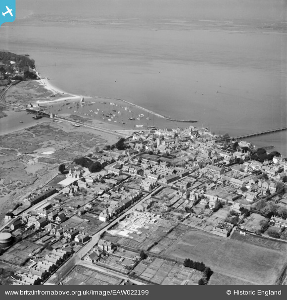
EAW022199 ENGLAND (1949). The Harbour and the town, Yarmouth, from the east, 1949
© Hawlfraint cyfranwyr OpenStreetMap a thrwyddedwyd gan yr OpenStreetMap Foundation. 2026. Trwyddedir y gartograffeg fel CC BY-SA.
Delweddau cyfagos (2)
EAW022199

EPW022974

Manylion
| Pennawd | [EAW022199] The Harbour and the town, Yarmouth, from the east, 1949 |
| Cyfeirnod | EAW022199 |
| Dyddiad | 17-April-1949 |
| Dolen | |
| Enw lle | YARMOUTH |
| Plwyf | YARMOUTH |
| Ardal | |
| Gwlad | ENGLAND |
| Dwyreiniad / Gogleddiad | 435677, 89507 |
| Hydred / Lledred | -1.4947235933272, 50.703531006723 |
| Cyfeirnod Grid Cenedlaethol | SZ357895 |
Pinnau

chris |
Wednesday 9th of October 2024 02:01:52 PM |