
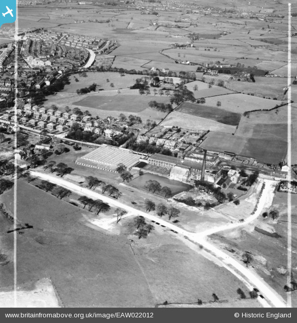
EAW022012 ENGLAND (1949). Balderstone Cotton Mill, Balderstone, 1949. This image was marked by Aerofilms Ltd for photo editing.
© Hawlfraint cyfranwyr OpenStreetMap a thrwyddedwyd gan yr OpenStreetMap Foundation. 2026. Trwyddedir y gartograffeg fel CC BY-SA.
Delweddau cyfagos (7)
EAW022012

EAW022011

EAW022009

EAW022010

EAW022013

EAW022015

EAW022014

Manylion
| Pennawd | [EAW022012] Balderstone Cotton Mill, Balderstone, 1949. This image was marked by Aerofilms Ltd for photo editing. |
| Cyfeirnod | EAW022012 |
| Dyddiad | 14-April-1949 |
| Dolen | |
| Enw lle | BALDERSTONE |
| Plwyf | |
| Ardal | |
| Gwlad | ENGLAND |
| Dwyreiniad / Gogleddiad | 390544, 410997 |
| Hydred / Lledred | -2.1428886865679, 53.595223014299 |
| Cyfeirnod Grid Cenedlaethol | SD905110 |
Pinnau

HILLARY |
Saturday 16th of May 2015 04:02:06 PM | |
|
Mikeya |
Monday 18th of August 2014 08:10:27 PM | |
|
Mikeya |
Monday 18th of August 2014 08:10:00 PM | |
|
Mikeya |
Monday 18th of August 2014 08:09:13 PM |