
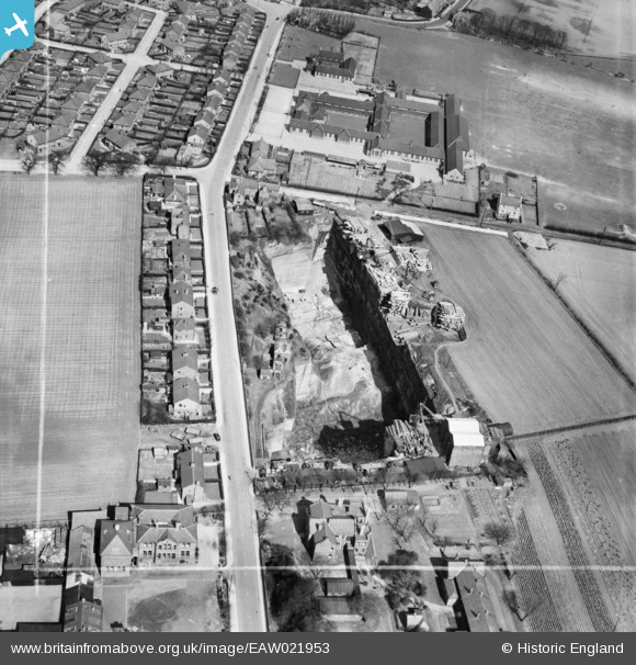
EAW021953 ENGLAND (1949). Holt Lane Quarry and Delph Lane, Whiston, 1949. This image was marked by Aerofilms Ltd for photo editing.
© Hawlfraint cyfranwyr OpenStreetMap a thrwyddedwyd gan yr OpenStreetMap Foundation. 2026. Trwyddedir y gartograffeg fel CC BY-SA.
Delweddau cyfagos (3)
EAW021953

EAW021952

EAW021954

Manylion
| Pennawd | [EAW021953] Holt Lane Quarry and Delph Lane, Whiston, 1949. This image was marked by Aerofilms Ltd for photo editing. |
| Cyfeirnod | EAW021953 |
| Dyddiad | 9-April-1949 |
| Dolen | |
| Enw lle | WHISTON |
| Plwyf | WHISTON |
| Ardal | |
| Gwlad | ENGLAND |
| Dwyreiniad / Gogleddiad | 348007, 392361 |
| Hydred / Lledred | -2.782530069554, 53.42521772104 |
| Cyfeirnod Grid Cenedlaethol | SJ480924 |
Pinnau

trevor |
Sunday 22nd of December 2013 09:53:59 PM | |
I always knew this as Whiston Central. I don't believe it became Rainhill High though - that's on Warrington Rd. |
JohnC |
Wednesday 19th of March 2014 02:26:21 PM |
The School in Portico Lane was known as Central School in the late 40's early 50's but 1955 on was known as Whiston Secondary Modern St.Helens took over the school and it was then known as Rainhill High School, after which they built a 6th form block in Warrington Road Rainhill and then added a main school to the Rainhill site, after which the Portico site closed and it was demolished. |
Fred G |
Wednesday 27th of July 2016 09:43:10 AM |