
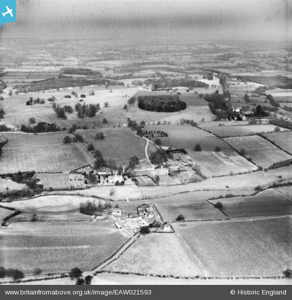
EAW021593 ENGLAND (1949). The village and the surrounding countryside, West Grinstead, from the south, 1949. This image has been produced from a damaged print.
© Hawlfraint cyfranwyr OpenStreetMap a thrwyddedwyd gan yr OpenStreetMap Foundation. 2026. Trwyddedir y gartograffeg fel CC BY-SA.
Delweddau cyfagos (2)
EAW021593

EAW021595

Manylion
| Pennawd | [EAW021593] The village and the surrounding countryside, West Grinstead, from the south, 1949. This image has been produced from a damaged print. |
| Cyfeirnod | EAW021593 |
| Dyddiad | 21-March-1949 |
| Dolen | |
| Enw lle | WEST GRINSTEAD |
| Plwyf | WEST GRINSTEAD |
| Ardal | |
| Gwlad | ENGLAND |
| Dwyreiniad / Gogleddiad | 517100, 120535 |
| Hydred / Lledred | -0.33198961554794, 50.971766913392 |
| Cyfeirnod Grid Cenedlaethol | TQ171205 |
