
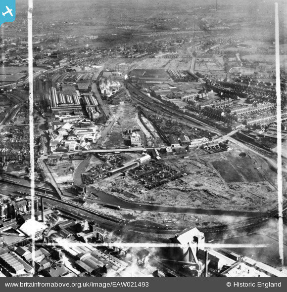
EAW021493 ENGLAND (1949). The Cox and Danks Ltd Works surrounding Tatbank Road and environs, Oldbury, from the south-west, 1949. This image has been produced from a print marked by Aerofilms Ltd for photo editing.
© Hawlfraint cyfranwyr OpenStreetMap a thrwyddedwyd gan yr OpenStreetMap Foundation. 2026. Trwyddedir y gartograffeg fel CC BY-SA.
Delweddau cyfagos (8)
EAW021493

EAW021486

EAW021492

EAW021488

EAW021487

EAW021489

EAW021490

EAW021491

Manylion
| Pennawd | [EAW021493] The Cox and Danks Ltd Works surrounding Tatbank Road and environs, Oldbury, from the south-west, 1949. This image has been produced from a print marked by Aerofilms Ltd for photo editing. |
| Cyfeirnod | EAW021493 |
| Dyddiad | 15-March-1949 |
| Dolen | |
| Enw lle | OLDBURY |
| Plwyf | |
| Ardal | |
| Gwlad | ENGLAND |
| Dwyreiniad / Gogleddiad | 399522, 288615 |
| Hydred / Lledred | -2.0070414108544, 52.495075604455 |
| Cyfeirnod Grid Cenedlaethol | SO995886 |
Pinnau

John W |
Thursday 21st of July 2016 06:00:06 PM | |
|
John W |
Thursday 21st of July 2016 05:55:31 PM |