
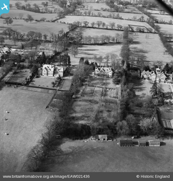
EAW021436 ENGLAND (1949). Abbots Mead and other properties on Barnet Lane, Elstree, 1949
© Hawlfraint cyfranwyr OpenStreetMap a thrwyddedwyd gan yr OpenStreetMap Foundation. 2026. Trwyddedir y gartograffeg fel CC BY-SA.
Delweddau cyfagos (5)
EAW021436

EAW047986

EAW047987

EAW021435

EAW023707

Manylion
| Pennawd | [EAW021436] Abbots Mead and other properties on Barnet Lane, Elstree, 1949 |
| Cyfeirnod | EAW021436 |
| Dyddiad | 15-March-1949 |
| Dolen | |
| Enw lle | ELSTREE |
| Plwyf | ELSTREE AND BOREHAMWOOD |
| Ardal | |
| Gwlad | ENGLAND |
| Dwyreiniad / Gogleddiad | 518740, 195103 |
| Hydred / Lledred | -0.28381254497291, 51.641709791896 |
| Cyfeirnod Grid Cenedlaethol | TQ187951 |
Pinnau
Byddwch y cyntaf i ychwanegu sylw at y ddelwedd hon!