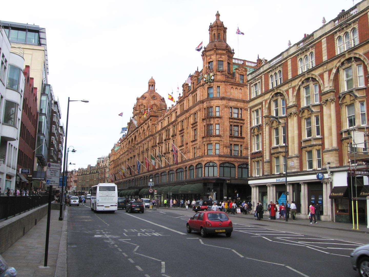
EAW021420 ENGLAND (1949). Harrods and environs, Brompton, 1949. This image has been produced from a print.
    © Hawlfraint cyfranwyr OpenStreetMap a thrwyddedwyd gan yr OpenStreetMap Foundation. 2025. Trwyddedir y gartograffeg fel CC BY-SA.
  
Delweddau cyfagos (5)
Manylion
| Pennawd | [EAW021420] Harrods and environs, Brompton, 1949. This image has been produced from a print. | 
| Cyfeirnod | EAW021420 | 
| Dyddiad | 15-March-1949 | 
| Dolen | |
| Enw lle | BROMPTON | 
| Plwyf | |
| Ardal | |
| Gwlad | ENGLAND | 
| Dwyreiniad / Gogleddiad | 527655, 179404 | 
| Hydred / Lledred | -0.160735084709, 51.498657901238 | 
| Cyfeirnod Grid Cenedlaethol | TQ277794 | 
Pinnau
|   Alan McFaden | Thursday 25th of September 2014 11:15:53 AM | 
Cyfraniadau Grŵp
|   Harrods |   Alan McFaden | Thursday 25th of September 2014 11:16:17 AM | 
 
             
  ![[EAW021420] Harrods and environs, Brompton, 1949. This image has been produced from a print.](http://britainfromabove.org.uk/sites/all/libraries/aerofilms-images/public/100x100/EAW/021/EAW021420.jpg) 
  
                                          ![[EAW022139] Hans Road, Brompton Road and The Serpentine, Knightsbridge, 1949](http://britainfromabove.org.uk/sites/all/libraries/aerofilms-images/public/100x100/EAW/022/EAW022139.jpg) 
 ![[EAW021419] Brompton Road looking towards Hyde Park, Knightsbridge, 1949. This image has been produced from a print.](http://britainfromabove.org.uk/sites/all/libraries/aerofilms-images/public/100x100/EAW/021/EAW021419.jpg) 
 ![[EPW045420] Lowndes Square and environs, Knightsbridge, 1934](http://britainfromabove.org.uk/sites/all/libraries/aerofilms-images/public/100x100/EPW/045/EPW045420.jpg) 
 ![[EPW030076] The R101 airship on its first test flight over Hyde Park, Westminster, 1929](http://britainfromabove.org.uk/sites/all/libraries/aerofilms-images/public/100x100/EPW/030/EPW030076.jpg) 
 
 Harrods
 Harrods