
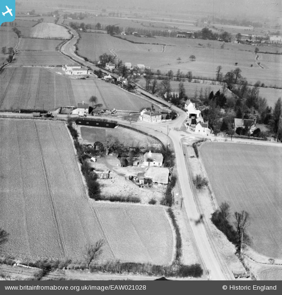
EAW021028 ENGLAND (1949). The village, Leaden Roding, 1949
© Hawlfraint cyfranwyr OpenStreetMap a thrwyddedwyd gan yr OpenStreetMap Foundation. 2026. Trwyddedir y gartograffeg fel CC BY-SA.
Delweddau cyfagos (2)
EAW021028

EAW021029

Manylion
| Pennawd | [EAW021028] The village, Leaden Roding, 1949 |
| Cyfeirnod | EAW021028 |
| Dyddiad | 16-February-1949 |
| Dolen | |
| Enw lle | LEADEN RODING |
| Plwyf | LEADEN RODING |
| Ardal | |
| Gwlad | ENGLAND |
| Dwyreiniad / Gogleddiad | 559464, 213319 |
| Hydred / Lledred | 0.31267424002437, 51.795305862615 |
| Cyfeirnod Grid Cenedlaethol | TL595133 |
Pinnau

aveling8837 |
Wednesday 8th of January 2014 10:54:40 PM |