
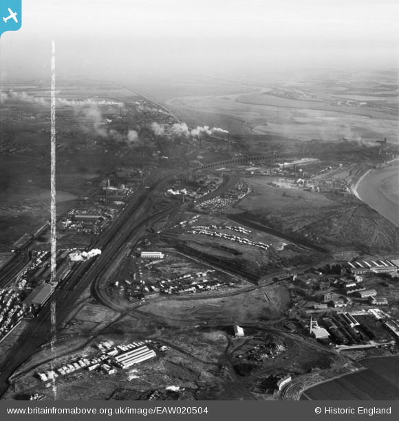
EAW020504 ENGLAND (1948). Ditton Marsh and the surrounding industrial area, Hale Bank, from the west, 1948. This image was marked by Aerofilms Ltd for photo editing.
© Hawlfraint cyfranwyr OpenStreetMap a thrwyddedwyd gan yr OpenStreetMap Foundation. 2026. Trwyddedir y gartograffeg fel CC BY-SA.
Delweddau cyfagos (8)
EAW020504

EAW020512

EAW020511

EAW020509

EPW014293

EAW002731

EAW002733

EAW002734

Manylion
| Pennawd | [EAW020504] Ditton Marsh and the surrounding industrial area, Hale Bank, from the west, 1948. This image was marked by Aerofilms Ltd for photo editing. |
| Cyfeirnod | EAW020504 |
| Dyddiad | 10-November-1948 |
| Dolen | |
| Enw lle | HALE BANK |
| Plwyf | HALEBANK |
| Ardal | |
| Gwlad | ENGLAND |
| Dwyreiniad / Gogleddiad | 349278, 384403 |
| Hydred / Lledred | -2.7621237312085, 53.353808389479 |
| Cyfeirnod Grid Cenedlaethol | SJ493844 |
Pinnau

Ginger79 |
Tuesday 15th of June 2021 09:30:32 PM |