
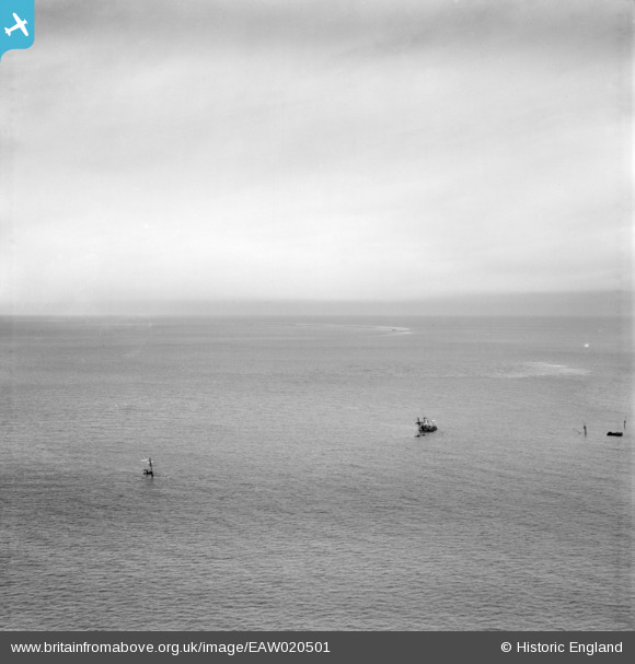
EAW020501 ENGLAND (1948). Wrecks on the Goodwin Sands, possibly the "Luray Victory", "Ira" and "Val Salice" (approximate location recorded), 1948
© Hawlfraint cyfranwyr OpenStreetMap a thrwyddedwyd gan yr OpenStreetMap Foundation. 2026. Trwyddedir y gartograffeg fel CC BY-SA.
Delweddau cyfagos (4)
EAW020501
, 1948")
EAW020499
, 1948")
EAW020498
, 1948")
EAW020500
, 1948")
Manylion
| Pennawd | [EAW020501] Wrecks on the Goodwin Sands, possibly the "Luray Victory", "Ira" and "Val Salice" (approximate location recorded), 1948 |
| Cyfeirnod | EAW020501 |
| Dyddiad | 9-November-1948 |
| Dolen | |
| Enw lle | |
| Plwyf | RINGWOULD WITH KINGSDOWN |
| Ardal | |
| Gwlad | ENGLAND |
| Dwyreiniad / Gogleddiad | 646089, 148738 |
| Hydred / Lledred | 1.5218381604415, 51.184283654453 |
| Cyfeirnod Grid Cenedlaethol | TR461487 |
Pinnau
Byddwch y cyntaf i ychwanegu sylw at y ddelwedd hon!