
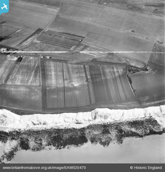
EAW020470 ENGLAND (1948). St Margaret's Free Down, St Margaret's at Cliffe, 1948. This image was marked by Aerofilms Ltd for photo editing.
© Hawlfraint cyfranwyr OpenStreetMap a thrwyddedwyd gan yr OpenStreetMap Foundation. 2026. Trwyddedir y gartograffeg fel CC BY-SA.
Delweddau cyfagos (2)
EAW020470

EAW020469

Manylion
| Pennawd | [EAW020470] St Margaret's Free Down, St Margaret's at Cliffe, 1948. This image was marked by Aerofilms Ltd for photo editing. |
| Cyfeirnod | EAW020470 |
| Dyddiad | 9-November-1948 |
| Dolen | |
| Enw lle | ST MARGARET'S AT CLIFFE |
| Plwyf | ST. MARGARET'S AT CLIFFE |
| Ardal | |
| Gwlad | ENGLAND |
| Dwyreiniad / Gogleddiad | 637485, 145676 |
| Hydred / Lledred | 1.3969179901422, 51.160434547493 |
| Cyfeirnod Grid Cenedlaethol | TR375457 |
Pinnau

Chris Kolonko |
Saturday 16th of September 2017 08:19:37 PM |