
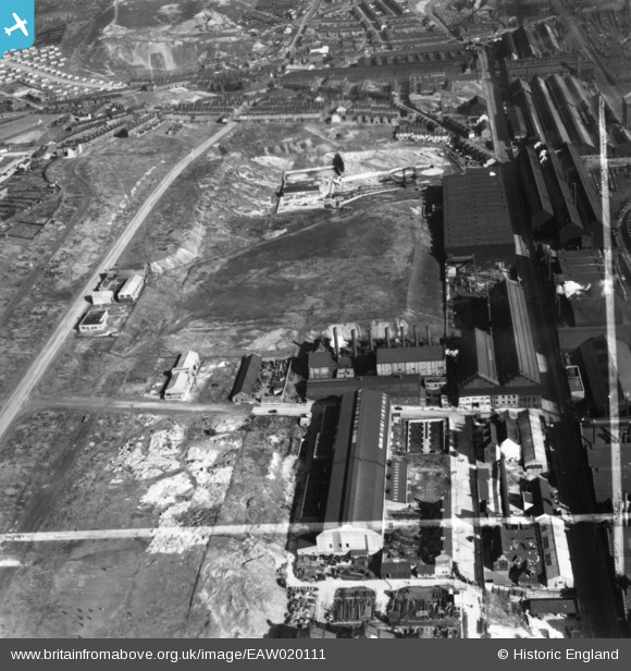
EAW020111 ENGLAND (1948). Petre Street, Garter Street, part of the Atlas and Norfolk Steel Works and environs, Sheffield, 1948. This image has been produced from a print marked by Aerofilms Ltd for photo editing.
© Hawlfraint cyfranwyr OpenStreetMap a thrwyddedwyd gan yr OpenStreetMap Foundation. 2026. Trwyddedir y gartograffeg fel CC BY-SA.
Delweddau cyfagos (21)
EAW020111

EAW018764

EAW018766

EAW020110

EAW018800

EAW020105

EAW018769

EAW018770

EAW018801

EAW020106

EAW020107

EAW020104

EAW018767

EAW020112

EAW020108

EAW018765

EAW018768

EPW041547

EAW020109

EPW041546

EAW009654

Manylion
| Pennawd | [EAW020111] Petre Street, Garter Street, part of the Atlas and Norfolk Steel Works and environs, Sheffield, 1948. This image has been produced from a print marked by Aerofilms Ltd for photo editing. |
| Cyfeirnod | EAW020111 |
| Dyddiad | 19-October-1948 |
| Dolen | |
| Enw lle | SHEFFIELD |
| Plwyf | |
| Ardal | |
| Gwlad | ENGLAND |
| Dwyreiniad / Gogleddiad | 437042, 389417 |
| Hydred / Lledred | -1.4428246031764, 53.400015822734 |
| Cyfeirnod Grid Cenedlaethol | SK370894 |
