
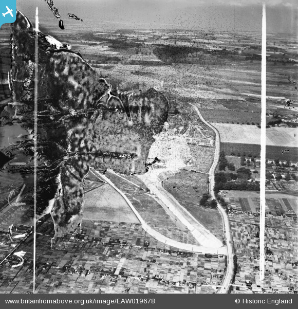
EAW019678 ENGLAND (1948). Allotments on the northern edge of Crosby and the Normanby Road, Scunthorpe, from the south, 1948. This image has been produced from a damaged negative.
© Hawlfraint cyfranwyr OpenStreetMap a thrwyddedwyd gan yr OpenStreetMap Foundation. 2026. Trwyddedir y gartograffeg fel CC BY-SA.
Delweddau cyfagos (8)
EAW019678

EAW028558

EAW027164

EAW027165

EAW021125

EAW009408

EAW027169
, Scunthorpe, from the south, 1949. This image has been produced from a damaged negative.")
EAW021145
, Scunthorpe, from the south-east, 1949. This image has been produced from a damaged negative.")
Manylion
| Pennawd | [EAW019678] Allotments on the northern edge of Crosby and the Normanby Road, Scunthorpe, from the south, 1948. This image has been produced from a damaged negative. |
| Cyfeirnod | EAW019678 |
| Dyddiad | 5-October-1948 |
| Dolen | |
| Enw lle | SCUNTHORPE |
| Plwyf | |
| Ardal | |
| Gwlad | ENGLAND |
| Dwyreiniad / Gogleddiad | 489139, 412691 |
| Hydred / Lledred | -0.65274720856433, 53.602952537839 |
| Cyfeirnod Grid Cenedlaethol | SE891127 |
Pinnau
Byddwch y cyntaf i ychwanegu sylw at y ddelwedd hon!