
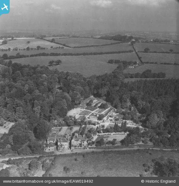
EAW019492 ENGLAND (1948). The Cottage and the surrounding countryside, Coalport, from the south, 1948. This image has been produced from a print.
© Hawlfraint cyfranwyr OpenStreetMap a thrwyddedwyd gan yr OpenStreetMap Foundation. 2026. Trwyddedir y gartograffeg fel CC BY-SA.
Delweddau cyfagos (5)
EAW019492

EAW019494

EAW019496

EAW019495
 and the surrounding countryside, Coalport, from the south, 1948. This image has been produced from a print.")
EAW019493

Manylion
| Pennawd | [EAW019492] The Cottage and the surrounding countryside, Coalport, from the south, 1948. This image has been produced from a print. |
| Cyfeirnod | EAW019492 |
| Dyddiad | 5-October-1948 |
| Dolen | |
| Enw lle | COALPORT |
| Plwyf | THE GORGE |
| Ardal | |
| Gwlad | ENGLAND |
| Dwyreiniad / Gogleddiad | 370324, 302182 |
| Hydred / Lledred | -2.4383637561158, 52.616244224878 |
| Cyfeirnod Grid Cenedlaethol | SJ703022 |
Pinnau
Byddwch y cyntaf i ychwanegu sylw at y ddelwedd hon!