
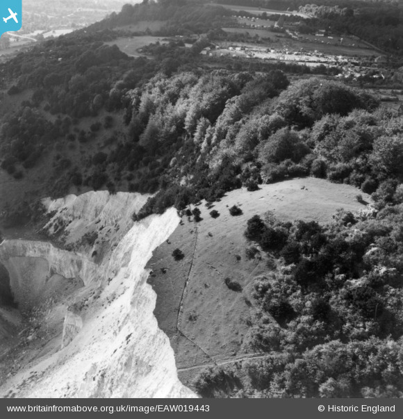
EAW019443 ENGLAND (1948). Betchworth Hills, Betchworth, 1948. This image has been produced from a print.
© Hawlfraint cyfranwyr OpenStreetMap a thrwyddedwyd gan yr OpenStreetMap Foundation. 2026. Trwyddedir y gartograffeg fel CC BY-SA.
Delweddau cyfagos (3)
EAW019443

EAW019388

EAW019378

Manylion
| Pennawd | [EAW019443] Betchworth Hills, Betchworth, 1948. This image has been produced from a print. |
| Cyfeirnod | EAW019443 |
| Dyddiad | 30-September-1948 |
| Dolen | |
| Enw lle | BETCHWORTH |
| Plwyf | BETCHWORTH |
| Ardal | |
| Gwlad | ENGLAND |
| Dwyreiniad / Gogleddiad | 520413, 151647 |
| Hydred / Lledred | -0.27443381413267, 51.250750924708 |
| Cyfeirnod Grid Cenedlaethol | TQ204516 |
Pinnau

Dan Gregory |
Saturday 13th of September 2014 11:59:07 PM |