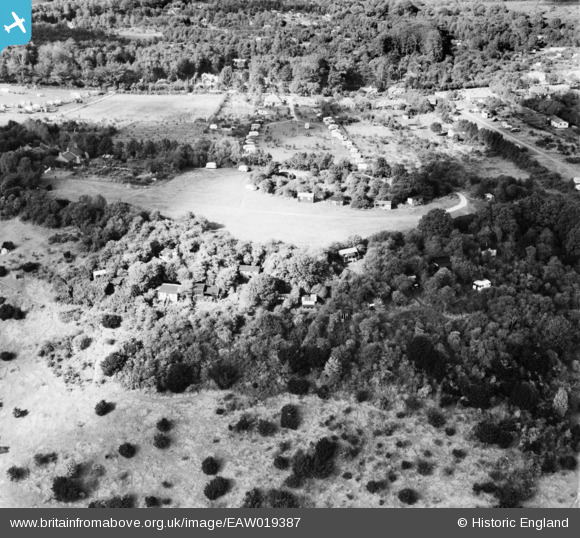
EAW019387 ENGLAND (1948). Betchworth Fort and environs, Box Hill, 1948
    © Hawlfraint cyfranwyr OpenStreetMap a thrwyddedwyd gan yr OpenStreetMap Foundation. 2025. Trwyddedir y gartograffeg fel CC BY-SA.
  
Delweddau cyfagos (5)
Manylion
| Pennawd | [EAW019387] Betchworth Fort and environs, Box Hill, 1948 | 
| Cyfeirnod | EAW019387 | 
| Dyddiad | 30-October-1948 | 
| Dolen | |
| Enw lle | BOX HILL | 
| Plwyf | |
| Ardal | |
| Gwlad | ENGLAND | 
| Dwyreiniad / Gogleddiad | 520081, 151390 | 
| Hydred / Lledred | -0.27927544521531, 51.248510813993 | 
| Cyfeirnod Grid Cenedlaethol | TQ201514 | 
Pinnau
Byddwch y cyntaf i ychwanegu sylw at y ddelwedd hon!
 
             
  ![[EAW019387] Betchworth Fort and environs, Box Hill, 1948](http://britainfromabove.org.uk/sites/all/libraries/aerofilms-images/public/100x100/EAW/019/EAW019387.jpg) 
  
                                          ![[EAW019376] Betchworth Fort and Betchworth Hills Wood alongside the Betchworth Lime Works quarry, Box Hill, 1948. This image has been produced from a print.](http://britainfromabove.org.uk/sites/all/libraries/aerofilms-images/public/100x100/EAW/019/EAW019376.jpg) 
 ![[EAW019386] Boxhill Road and environs, Box Hill, 1948](http://britainfromabove.org.uk/sites/all/libraries/aerofilms-images/public/100x100/EAW/019/EAW019386.jpg) 
 ![[EAW019380] Boxhill Road and environs, Box Hill, 1948](http://britainfromabove.org.uk/sites/all/libraries/aerofilms-images/public/100x100/EAW/019/EAW019380.jpg) 
 ![[EAW019379] Boxhill Road and environs, Box Hill, 1948](http://britainfromabove.org.uk/sites/all/libraries/aerofilms-images/public/100x100/EAW/019/EAW019379.jpg)