
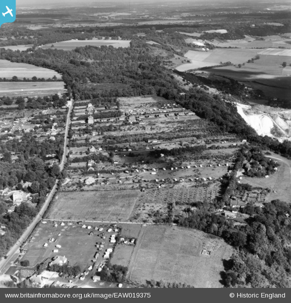
EAW019375 ENGLAND (1948). Boxhill Road, Betchworth Hills Wood and environs, Box Hill, 1948. This image has been produced from a print.
© Hawlfraint cyfranwyr OpenStreetMap a thrwyddedwyd gan yr OpenStreetMap Foundation. 2026. Trwyddedir y gartograffeg fel CC BY-SA.
Delweddau cyfagos (10)
EAW019375

EAW019386

EAW019379

EAW019376

EAW019380

EAW019388

EAW019378

EAW019385

EAW019374

EAW019367

Manylion
| Pennawd | [EAW019375] Boxhill Road, Betchworth Hills Wood and environs, Box Hill, 1948. This image has been produced from a print. |
| Cyfeirnod | EAW019375 |
| Dyddiad | 30-September-1948 |
| Dolen | |
| Enw lle | BOX HILL |
| Plwyf | |
| Ardal | |
| Gwlad | ENGLAND |
| Dwyreiniad / Gogleddiad | 520096, 151668 |
| Hydred / Lledred | -0.27896730023887, 51.251006549999 |
| Cyfeirnod Grid Cenedlaethol | TQ201517 |
Pinnau

Dan Gregory |
Saturday 13th of September 2014 11:57:54 PM |