
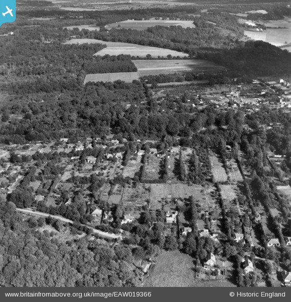
EAW019366 ENGLAND (1948). Headley Heath Approach, Ashurst Drive and Batchelor's Rough, Box Hill, 1948. This image has been produced from a print.
© Hawlfraint cyfranwyr OpenStreetMap a thrwyddedwyd gan yr OpenStreetMap Foundation. 2026. Trwyddedir y gartograffeg fel CC BY-SA.
Delweddau cyfagos (9)
EAW019366

EAW019382

EAW019367

EAW019365

EAW019372

EAW019374

EAW019373

EAW019371

EAW019383

Manylion
| Pennawd | [EAW019366] Headley Heath Approach, Ashurst Drive and Batchelor's Rough, Box Hill, 1948. This image has been produced from a print. |
| Cyfeirnod | EAW019366 |
| Dyddiad | 30-September-1948 |
| Dolen | |
| Enw lle | BOX HILL |
| Plwyf | |
| Ardal | |
| Gwlad | ENGLAND |
| Dwyreiniad / Gogleddiad | 519817, 151998 |
| Hydred / Lledred | -0.28285305802397, 51.254031568831 |
| Cyfeirnod Grid Cenedlaethol | TQ198520 |
Pinnau
Byddwch y cyntaf i ychwanegu sylw at y ddelwedd hon!